Transport Functions
Multimodal
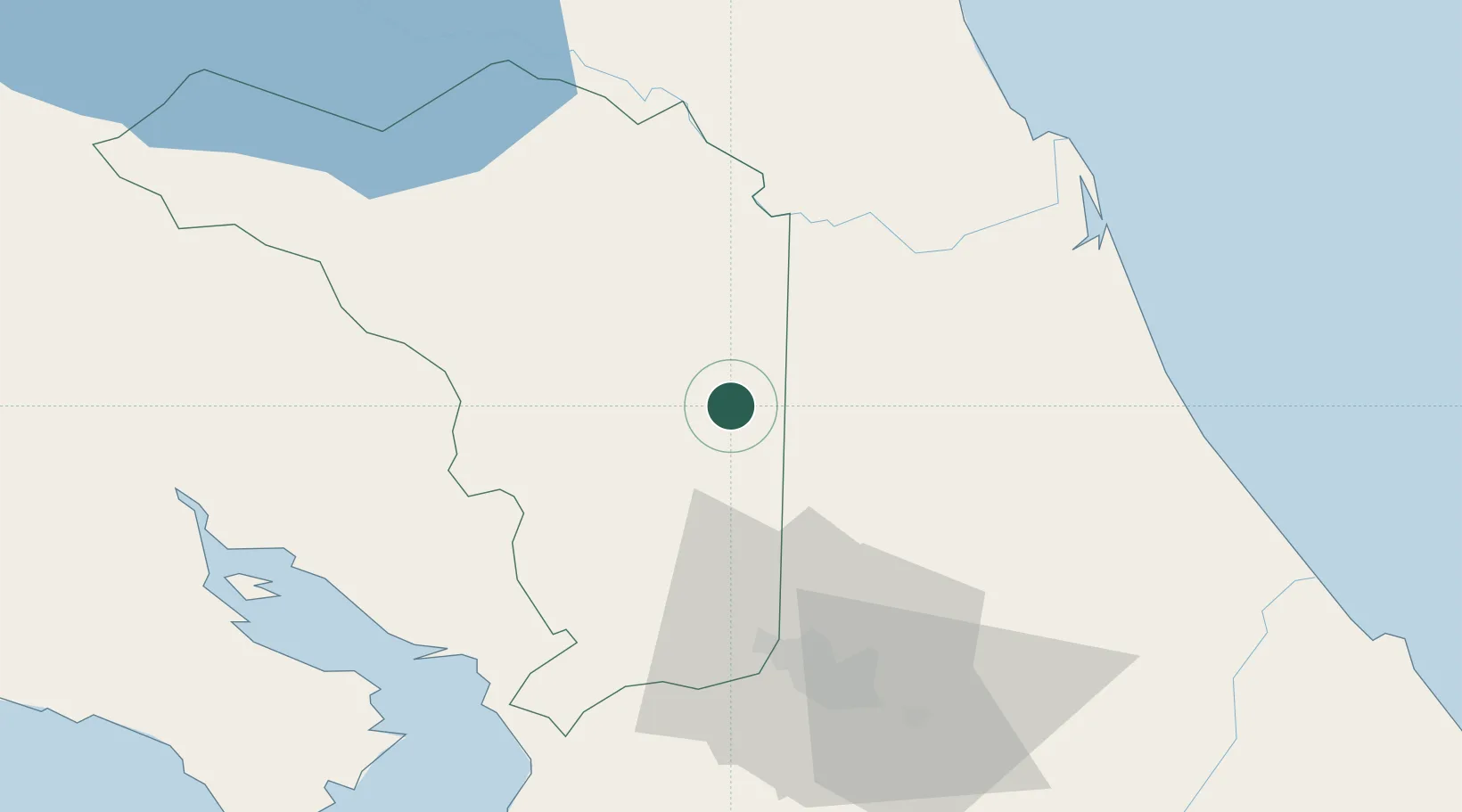
Hub Profile
Region
A
Location
Nearby Logistics Neighbours
Cities
- 1Venecia8 km
- 2Altamira10 km
- 3Río Cuarto10 km
- 4Aguas Zarcas11 km
- 5Muelle de San Carlos24 km
Ports
- 1Puerto Caldera76 km
- 2Puntarenas80 km
- 3Puerto Quepos112 km
- 4Puerto Moin138 km
- 5Puerto Limon146 km
Airports
Trade Zones
DatabookThe Record of Consolidated Knowledge
Costa Rica beyond logistics?