UN/LOCODE hub · Costa Rica
CRMUE

Muelle de San Carlos

10.5187°, -84.4654°
3
Transport functions

Transport Functions

Port
Road
Multimodal
UN/LOCODE

Hub Profile

Region
A
GeoNames
Logistics facilities
1
UN/LOCODE

Location

Location of CRMUE
Natural Earth 10m (public domain) · A · CRMUE · 10.52, -84.47GoogleOSMYandex

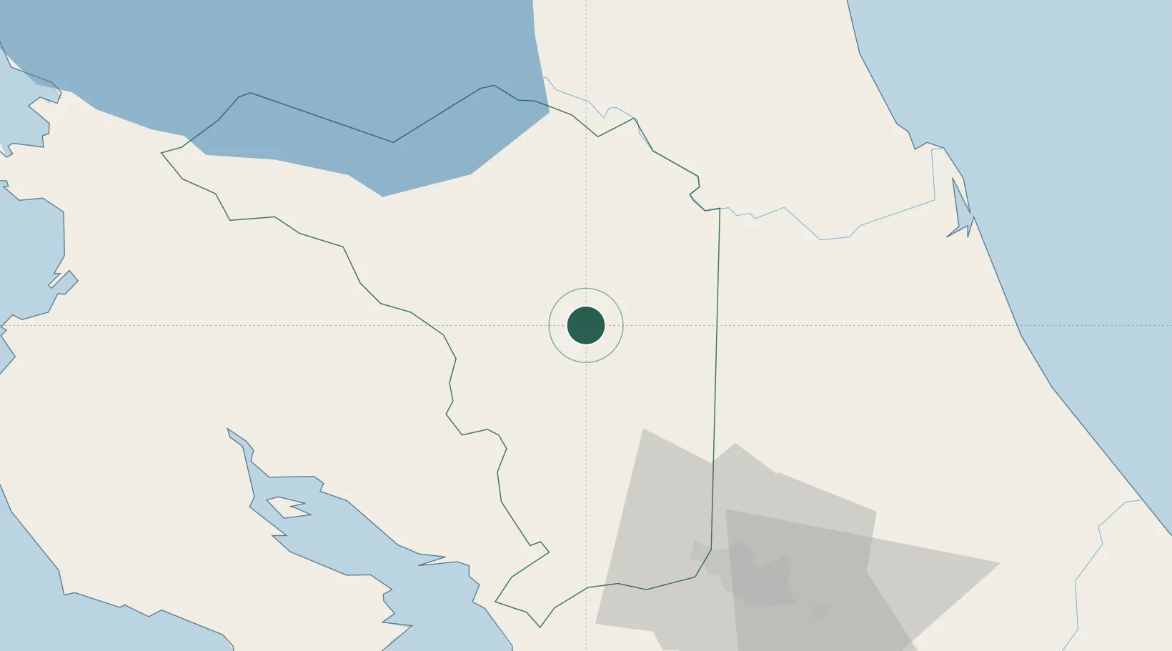
Nearby Logistics Neighbours

Cities
  1. 1Boca Arenal3 km
  2. 2Santa Maria/Pocosol12 km
  3. 3Altamira14 km
  4. 4Florencia de San Carlos17 km
  5. 5Aguas Zarcas20 km
Nearest neighbours — logibook spatial index (haversine) over the source coordinates
Ports
  1. 1Puntarenas72 km
  2. 2Puerto Caldera72 km
  3. 3Puerto Quepos125 km
  4. 4Puerto Moin162 km
  5. 5Puerto Limon169 km
Nearest neighbours — logibook spatial index (haversine) over the source coordinates
Airports
  1. 1La Fortuna Arenal Airport14 km
  2. 2Los Chiles Airport63 km
  3. 3Juan Santamaría International Airport65 km
  4. 4Tobías Bolaños International Airport72 km
  5. 5Upala Airport73 km
Nearest neighbours — logibook spatial index (haversine) over the source coordinates
Trade Zones
  1. 1CR Green Valley Business and Technology Park39 km
  2. 2AAA Top Talent Free Trade Zone52 km
  3. 3Activa Industrial Park53 km
  4. 4Coyol Free Zone62 km
  5. 5Zona Franca BES (BES Free Zone)63 km
Nearest neighbours — logibook spatial index (haversine) over the source coordinates
DatabookThe Record of Consolidated Knowledge
Costa Rica beyond logistics?
Browse databook

All Sources

LocationsUN/LOCODE
UN/LOCODE — free
Portsthe NGA World Port Index
Public domain (US gov)
AirportsOurAirports
Public domain
Trade Zonesthe World Bank SEZ database
CC BY 4.0
Trade ZonesOpen Zone Map
CC BY
← Costa Rica locations