Transport Functions
Road
Multimodal
Hub Profile
Place type
Populated place
Region
Alajuela Province
Time zone
America/Costa_Rica
Elevation
487 m
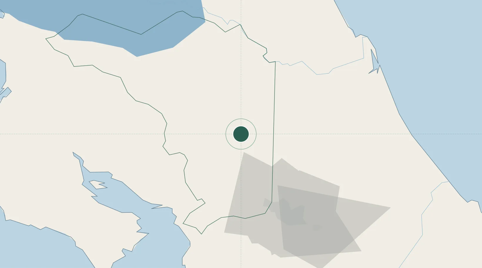
Location
Nearby Logistics Neighbours
Cities
- 1Venecia8 km
- 2Altamira9 km
- 3Pital Con Desvio11 km
- 4Río Cuarto13 km
- 5Florencia de San Carlos15 km
Ports
- 1Puerto Caldera66 km
- 2Puntarenas69 km
- 3Puerto Quepos108 km
- 4Puerto Moin145 km
- 5Puerto Limon153 km
Airports
Trade Zones
DatabookThe Record of Consolidated Knowledge
Costa Rica beyond logistics?