Free Trade Zone · Costa Rica

Zona Franca BES (BES Free Zone) Active
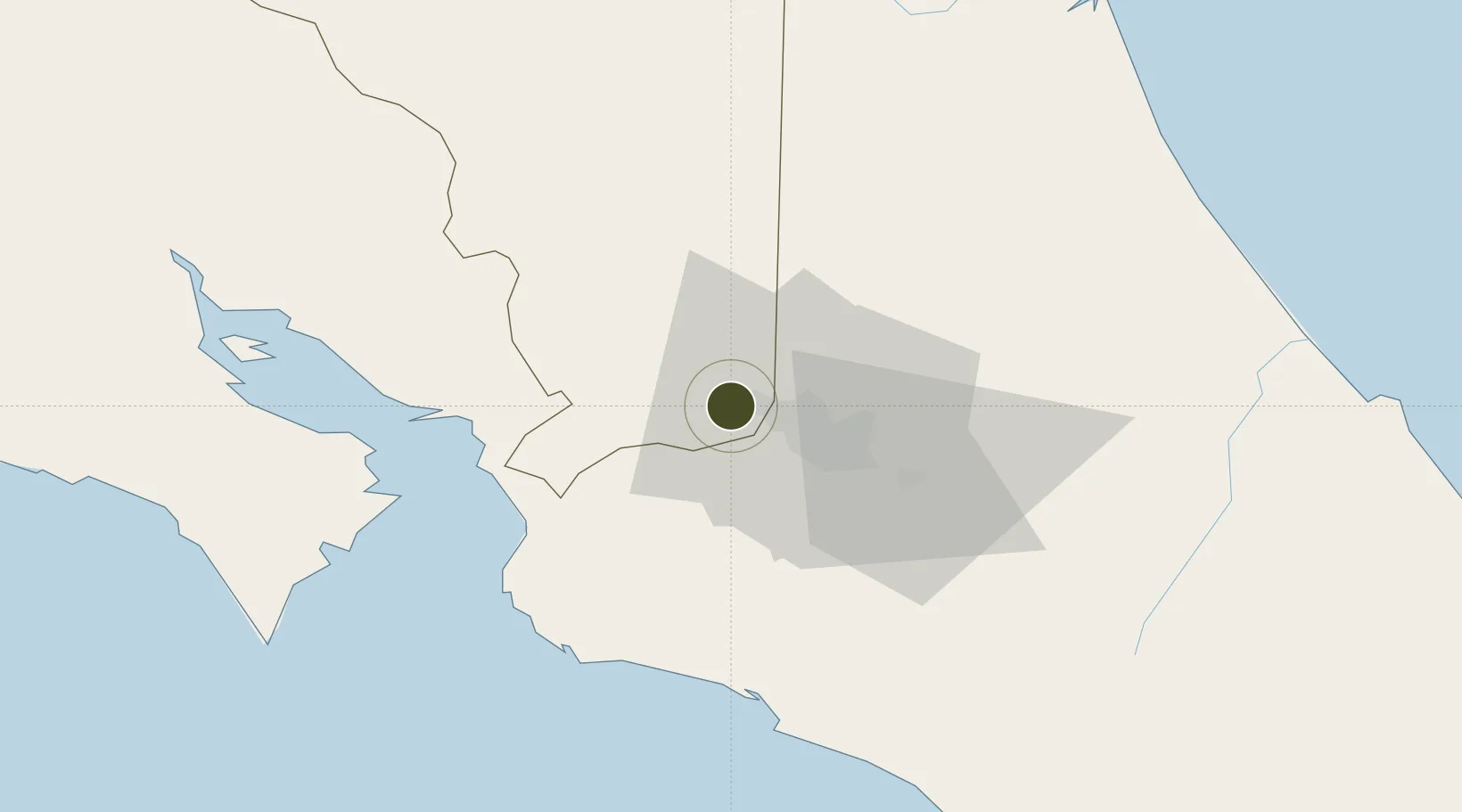
9.9944°, -84.2575°
85 ha
Zone area
51.0 km
Nearest port
5.3 km
Nearest airport

Gateway access

Nearest neighbours — logibook spatial index (haversine) over the source coordinates

Zone profile

Zone type
Free Trade Zone
Open Zone Map
Region
Alajuela
Open Zone Map
Status
Active
Open Zone Map
Management
Private
Open Zone Map
Operator
Grupo Montecristo
Open Zone Map
Legal framework
Free Zone Regime Act No 7210, Act No 8794 and its Bylaws
Open Zone Map

Location

Location of ozm-1701
Natural Earth 10m (public domain) · Alajuela · ozm-1701 · 9.99, -84.26GoogleOSMYandex

Nearby Logistics Neighbours

Ports
  1. 1Puerto Caldera51 km
  2. 2Puntarenas63 km
  3. 3Puerto Quepos63 km
  4. 4Puerto Moin129 km
  5. 5Puerto Limon136 km
Nearest neighbours — logibook spatial index (haversine) over the source coordinates
Airports
  1. 1Juan Santamaría International Airport5 km
  2. 2Tobías Bolaños International Airport14 km
  3. 3Guapiles Airport56 km
  4. 4Quepos Managua Airport63 km
  5. 5La Fortuna Arenal Airport64 km
Nearest neighbours — logibook spatial index (haversine) over the source coordinates
Cities
  1. 1Coyol1 km
  2. 2Alajuela5 km
  3. 3Rio Segundo6 km
  4. 4Turrucares7 km
  5. 5La Ribera8 km
Nearest neighbours — logibook spatial index (haversine) over the source coordinates
Trade Zones
  1. 1Greenpark1 km
  2. 2Coyol Free Zone2 km
  3. 3Zeta Free Zone Alajuela3 km
  4. 4Lindora Park Free Zone8 km
  5. 5Zona Franca America11 km
Nearest neighbours — logibook spatial index (haversine) over the source coordinates
DatabookThe Record of Consolidated Knowledge
Costa Rica beyond logistics?
Browse databook

All Sources

Trade ZonesOpen Zone Map
CC BY
Portsthe NGA World Port Index
Public domain (US gov)
AirportsOurAirports
Public domain
LocationsUN/LOCODE
UN/LOCODE — free
← Costa Rica trade zones