Diversified Zone · China

Xiangcheng High-tech Industrial Development Zone Active
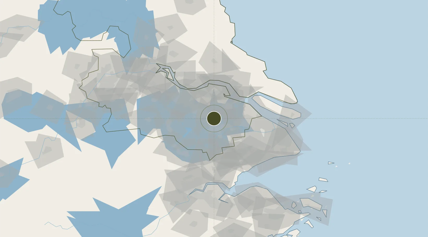
31.4523°, 120.5588°
6,029 ha
Zone area
50.9 km
Nearest port
13.2 km
Nearest airport

Gateway access

Nearest neighbours — logibook spatial index (haversine) over the source coordinates

Zone profile

Zone type
Diversified Zone
Open Zone Map
Region
Jiangsu
Open Zone Map
Status
Active
Open Zone Map
Management
Public
Open Zone Map
Operator
Management Committee of Xiangcheng High-tech Industrial Development Zone
Open Zone Map
Legal framework
Established in May 2016
Open Zone Map

Location

Location of ozm-957
Natural Earth 10m (public domain) · Jiangsu · ozm-957 · 31.45, 120.56GoogleOSMYandex

Nearby Logistics Neighbours

Ports
  1. 1Changshu51 km
  2. 2Zhangjiangang59 km
  3. 3Jiangyin60 km
  4. 4Taicang65 km
  5. 5Nantong65 km
Nearest neighbours — logibook spatial index (haversine) over the source coordinates
Airports
  1. 1Sunan Shuofang International Airport13 km
  2. 2Suzhou Guangfu Airport26 km
  3. 3Chenghu General Airport34 km
  4. 4Shanghai Hongqiao International Airport79 km
  5. 5Nantong Xingdong International Airport80 km
Nearest neighbours — logibook spatial index (haversine) over the source coordinates
Cities
  1. 1Suzhou20 km
  2. 2Zouxiang26 km
  3. 3Taizhou38 km
  4. 4Kunshan41 km
  5. 5Changshu Pt43 km
Nearest neighbours — logibook spatial index (haversine) over the source coordinates
Trade Zones
  1. 1Shuofang Industrial Park11 km
  2. 2Suzhou High-tech Export Processing Zone13 km
  3. 3Tourist Holiday Resort of Yangcheng Lake22 km
  4. 4Suzhou Industrial Park Export Processing Zone23 km
  5. 5Xishan Economic Development Zone23 km
Nearest neighbours — logibook spatial index (haversine) over the source coordinates
DatabookThe Record of Consolidated Knowledge
China beyond logistics?
Browse databook

All Sources

Trade ZonesOpen Zone Map
CC BY
Portsthe NGA World Port Index
Public domain (US gov)
AirportsOurAirports
Public domain
LocationsUN/LOCODE
UN/LOCODE — free
← China trade zones