UN/LOCODE hub · China
CNSZH

Suzhou

31.2993°, 120.6760°
6,715,559
Population
3
Transport functions

Transport Functions

Port
Multimodal
Postal
UN/LOCODE

Hub Profile

Place type
Provincial seat
GeoNames
Region
Jiangsu
GeoNames
Population
6,715,559
GeoNames
Time zone
Asia/Shanghai
GeoNames
Elevation
10 m
GeoNames
Logistics facilities
20
UN/LOCODE

Location

Location of CNSZH
Natural Earth 10m (public domain) · Jiangsu · CNSZH · 31.30, 120.68GoogleOSMYandex

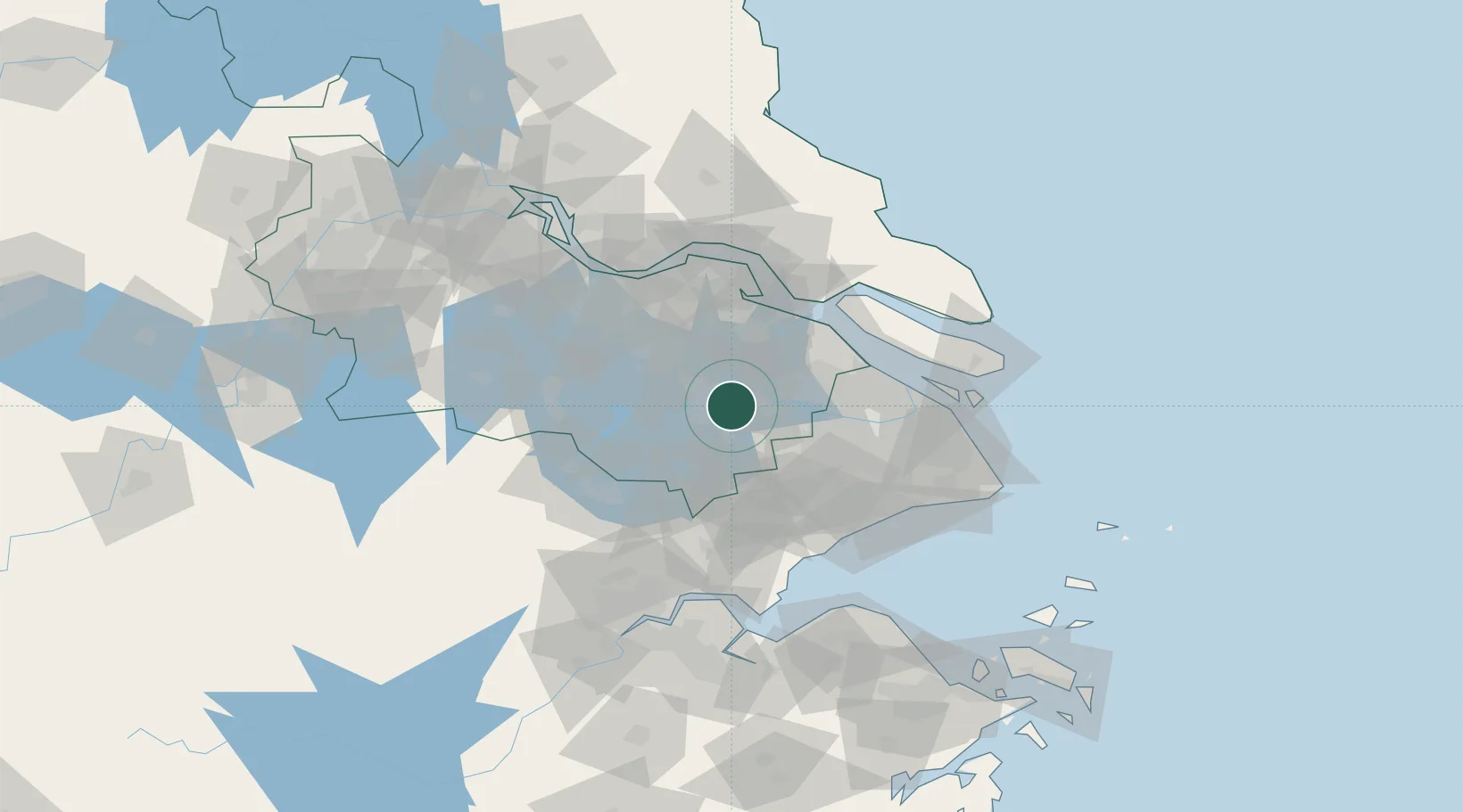
Nearby Logistics Neighbours

Cities
  1. 1Kunshan29 km
  2. 2Zouxiang41 km
  3. 3Anting45 km
  4. 4Changshu Pt50 km
  5. 5Taizhou51 km
Nearest neighbours — logibook spatial index (haversine) over the source coordinates
Ports
  1. 1Changshu58 km
  2. 2Taicang63 km
  3. 3Zhangjiangang79 km
  4. 4Nantong79 km
  5. 5Shanghai79 km
Nearest neighbours — logibook spatial index (haversine) over the source coordinates
Airports
  1. 1Chenghu General Airport14 km
  2. 2Suzhou Guangfu Airport26 km
  3. 3Sunan Shuofang International Airport32 km
  4. 4Shanghai Hongqiao International Airport64 km
  5. 5Jiaxing Nanhu Airport67 km
Nearest neighbours — logibook spatial index (haversine) over the source coordinates
DatabookThe Record of Consolidated Knowledge
China beyond logistics?
Browse databook

All Sources

LocationsUN/LOCODE
UN/LOCODE — free
LocationsGeoNames
CC BY 4.0
Portsthe NGA World Port Index
Public domain (US gov)
AirportsOurAirports
Public domain
Trade Zonesthe World Bank SEZ database
CC BY 4.0
Trade ZonesOpen Zone Map
CC BY
← China locations