UN/LOCODE hub · China
CNXAO

Xiaolan

22.6711°, 113.2724°
1
Transport functions

Transport Functions

Port
UN/LOCODE

Hub Profile

Place type
Local administrative seat
GeoNames
Region
Guangdong
GeoNames
Time zone
Asia/Shanghai
GeoNames
Elevation
6 m
GeoNames
Logistics facilities
2
UN/LOCODE

Location

Location of CNXAO
Natural Earth 10m (public domain) · Guangdong · CNXAO · 22.67, 113.27GoogleOSMYandex

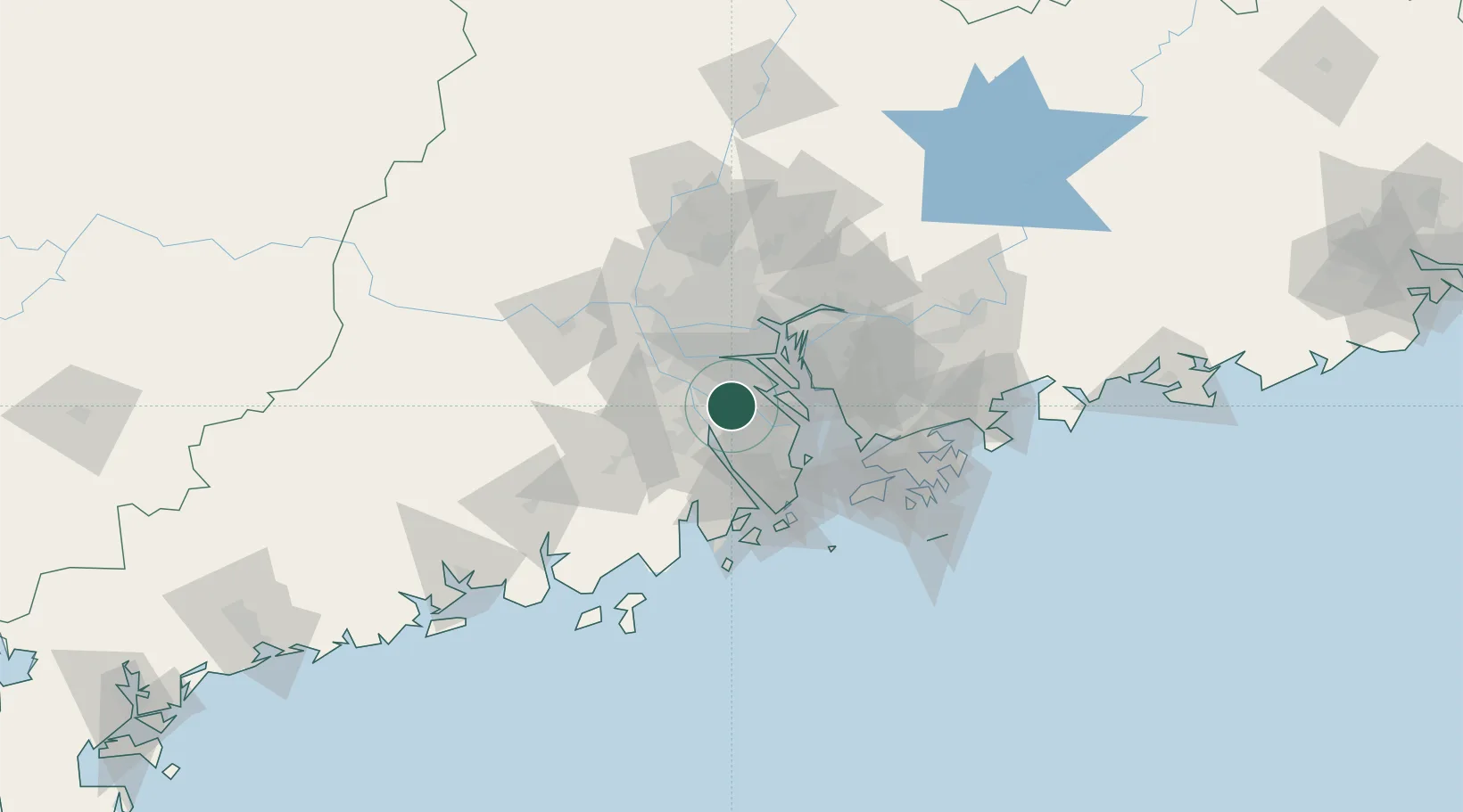
Nearby Logistics Neighbours

Cities
  1. 1Shunde Pt4 km
  2. 2Rongqi Pt12 km
  3. 3Guzhen13 km
  4. 4Hetang15 km
  5. 5Waihai17 km
Nearest neighbours — logibook spatial index (haversine) over the source coordinates
Ports
  1. 1Huangpuxingang48 km
  2. 2Huangpu48 km
  3. 3Guangzhou50 km
  4. 4Zhuhai58 km
  5. 5Macau62 km
Nearest neighbours — logibook spatial index (haversine) over the source coordinates
Airports
  1. 1Foshan Shadi Airport50 km
  2. 2Shenzhen Bao'an International Airport55 km
  3. 3Macau International Airport67 km
  4. 4Zhuhai Jinwan Airport75 km
  5. 5Hong Kong International Airport77 km
Nearest neighbours — logibook spatial index (haversine) over the source coordinates
Trade Zones
  1. 1Shunde High-tech Industrial Development Zone11 km
  2. 2Zhongshan Industrial Park14 km
  3. 3Zhongshan Industrial Park24 km
  4. 4Industrial Transfer Industrial Park, Pengjiang District26 km
  5. 5Guangzhou Nansha Export Processing Zone31 km
Nearest neighbours — logibook spatial index (haversine) over the source coordinates
DatabookThe Record of Consolidated Knowledge
China beyond logistics?
Browse databook

All Sources

LocationsUN/LOCODE
UN/LOCODE — free
Portsthe NGA World Port Index
Public domain (US gov)
AirportsOurAirports
Public domain
Trade Zonesthe World Bank SEZ database
CC BY 4.0
Trade ZonesOpen Zone Map
CC BY
← China locations