Transport Functions
Port
Hub Profile
Place type
Local administrative seat
Region
Guangdong
Time zone
Asia/Shanghai
Elevation
3 m
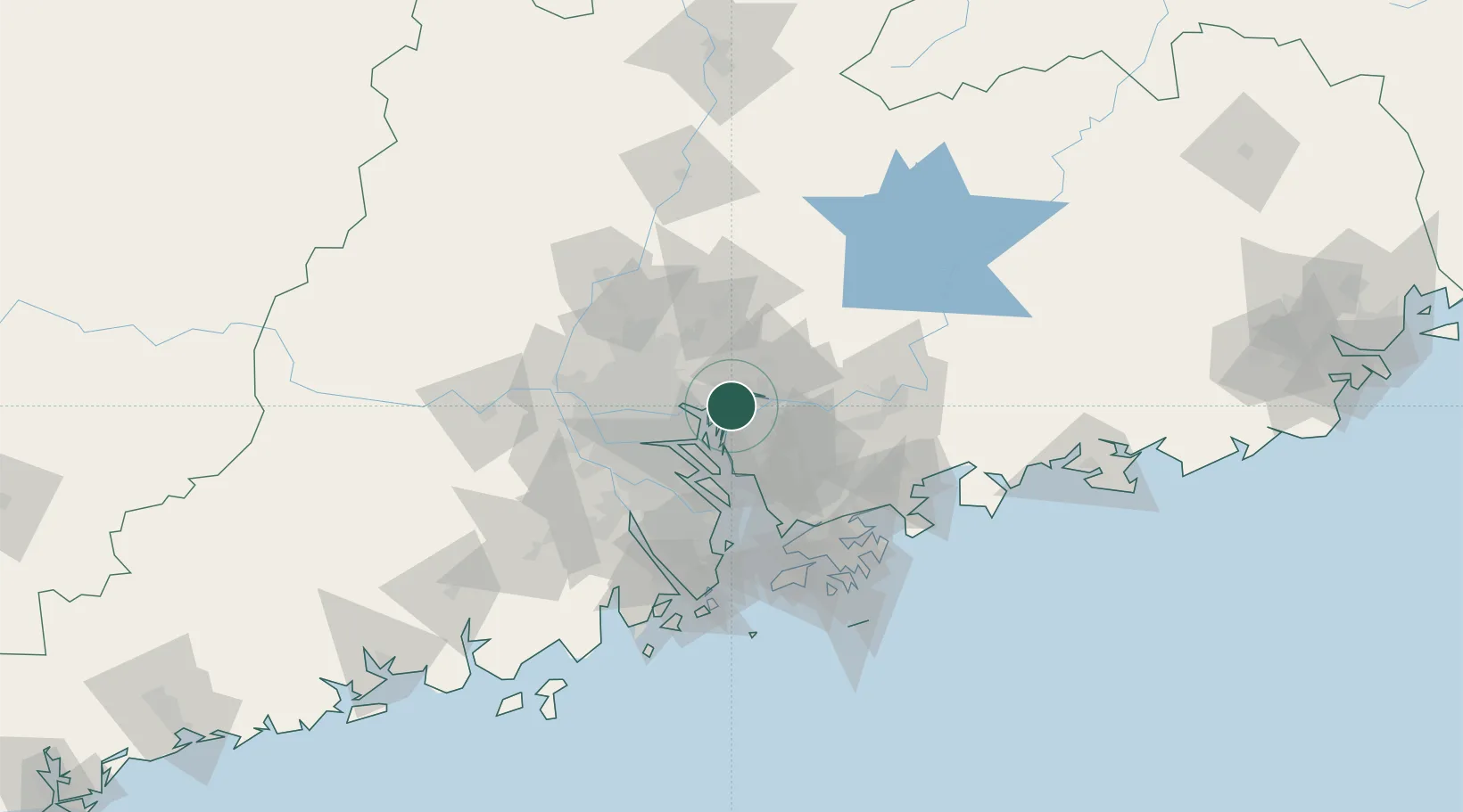
Location
Nearby Logistics Neighbours
Cities
- 1Xintang Pt9 km
- 2Huangpu New Port12 km
- 3Huangpu Pt14 km
- 4Xinsha16 km
- 5Houjie17 km
Ports
- 1Huangpuxingang16 km
- 2Huangpu24 km
- 3Guangzhou43 km
- 4Shekou72 km
- 5Yantian84 km
Airports
Trade Zones
DatabookThe Record of Consolidated Knowledge
China beyond logistics?