UN/LOCODE hub · China
CNHOU

Houjie

22.9333°, 113.6333°
2
Transport functions

Transport Functions

Port
Road
UN/LOCODE

Hub Profile

Place type
Local administrative seat
GeoNames
Region
Guangdong
GeoNames
Time zone
Asia/Shanghai
GeoNames
Elevation
13 m
GeoNames

Location

Location of CNHOU
Natural Earth 10m (public domain) · Guangdong · CNHOU · 22.93, 113.63GoogleOSMYandex

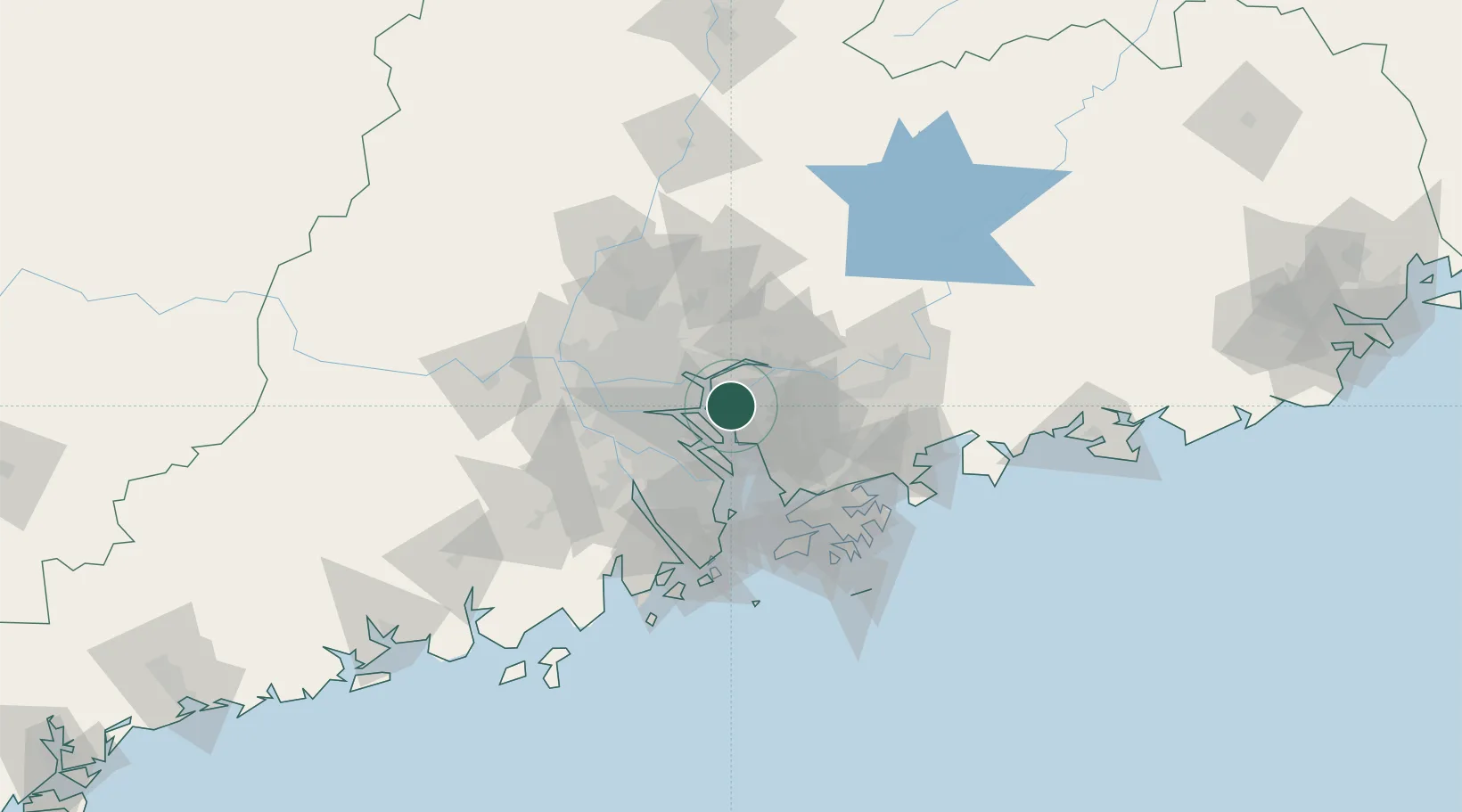
Nearby Logistics Neighbours

Cities
  1. 1Shatian6 km
  2. 2Xinsha12 km
  3. 3Dongguan12 km
  4. 4Huangpu Pt12 km
  5. 5Lianhuashan Pt14 km
Nearest neighbours — logibook spatial index (haversine) over the source coordinates
Ports
  1. 1Huangpuxingang19 km
  2. 2Huangpu28 km
  3. 3Guangzhou46 km
  4. 4Shekou57 km
  5. 5Yantian76 km
Nearest neighbours — logibook spatial index (haversine) over the source coordinates
Airports
  1. 1Shenzhen Bao'an International Airport37 km
  2. 2Foshan Shadi Airport60 km
  3. 3Guangzhou Baiyun International Airport61 km
  4. 4Shek Kong Air Base72 km
  5. 5Hong Kong International Airport75 km
Nearest neighbours — logibook spatial index (haversine) over the source coordinates
Trade Zones
  1. 1Guangzhou Export Processing Zone23 km
  2. 2Yunpu Industrial Park27 km
  3. 3Dongguan Water Town Development Zone27 km
  4. 4Guangzhou Nansha Export Processing Zone27 km
  5. 5Zhongshan Industrial Park44 km
Nearest neighbours — logibook spatial index (haversine) over the source coordinates
DatabookThe Record of Consolidated Knowledge
China beyond logistics?
Browse databook

All Sources

LocationsUN/LOCODE
UN/LOCODE — free
Portsthe NGA World Port Index
Public domain (US gov)
AirportsOurAirports
Public domain
Trade Zonesthe World Bank SEZ database
CC BY 4.0
Trade ZonesOpen Zone Map
CC BY
← China locations