UN/LOCODE hub · China
CNZEC

Zengcheng,Guangzhou

23.2500°, 113.6500°
2
Transport functions

Transport Functions

Road
Multimodal
UN/LOCODE

Hub Profile

Region
GD
GeoNames

Location

Location of CNZEC
Natural Earth 10m (public domain) · GD · CNZEC · 23.25, 113.65GoogleOSMYandex

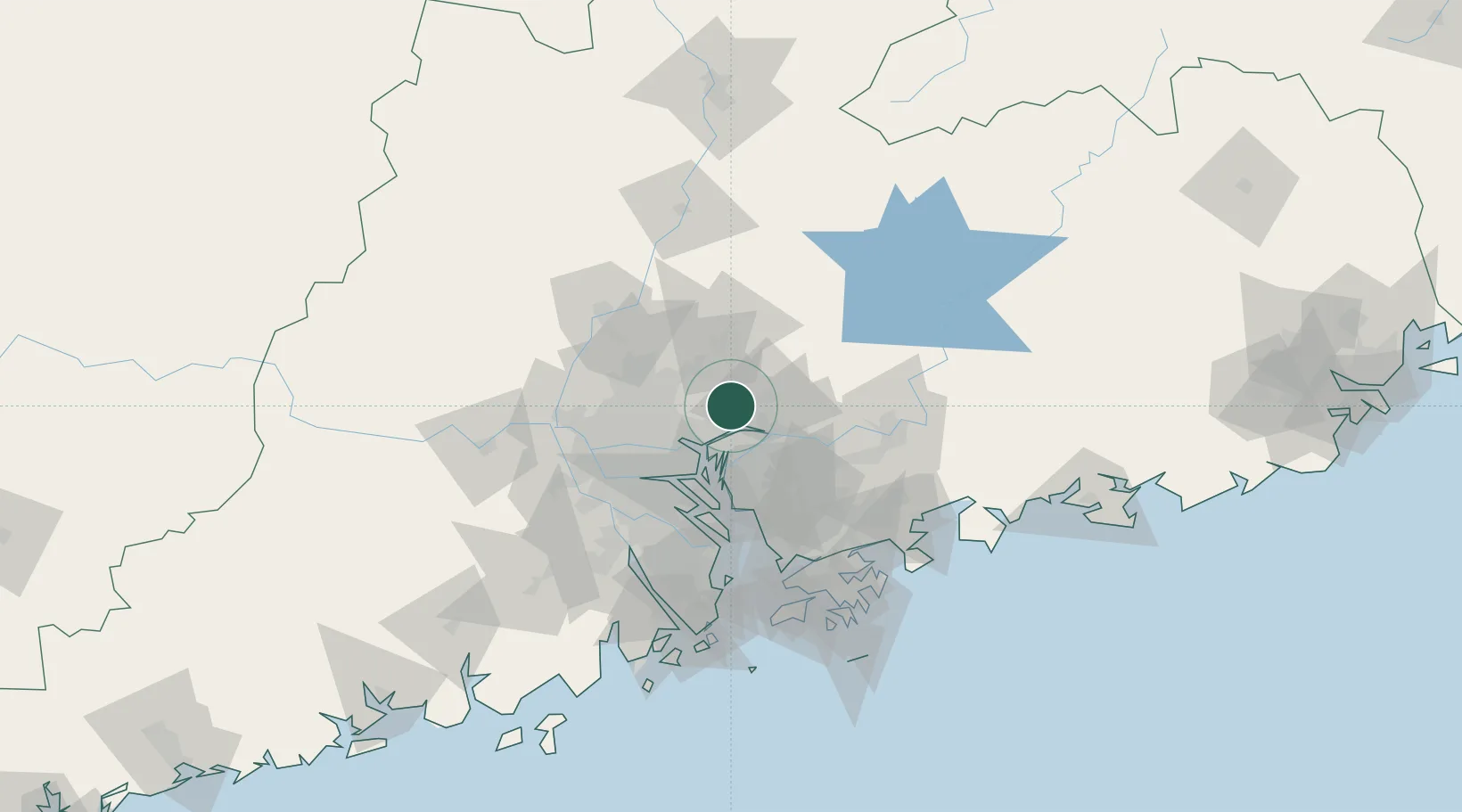
Nearby Logistics Neighbours

Cities
  1. 1Zhongtang19 km
  2. 2Xintang Pt21 km
  3. 3Huangpu New Port23 km
  4. 4Xiaohudao29 km
  5. 5Neigang29 km
Nearest neighbours — logibook spatial index (haversine) over the source coordinates
Ports
  1. 1Huangpuxingang27 km
  2. 2Huangpu30 km
  3. 3Guangzhou45 km
  4. 4Shekou90 km
  5. 5Yantian97 km
Nearest neighbours — logibook spatial index (haversine) over the source coordinates
Airports
  1. 1Guangzhou Baiyun International Airport39 km
  2. 2Foshan Shadi Airport62 km
  3. 3Shenzhen Bao'an International Airport70 km
  4. 4Huizhou Pingtan Airport100 km
  5. 5Shek Kong Air Base101 km
Nearest neighbours — logibook spatial index (haversine) over the source coordinates
Trade Zones
  1. 1Yunpu Industrial Park16 km
  2. 2Guangzhou Export Processing Zone20 km
  3. 3Longhu Industrial Park42 km
  4. 4Dongguan Water Town Development Zone44 km
  5. 5Baiyun Industrial Park44 km
Nearest neighbours — logibook spatial index (haversine) over the source coordinates
DatabookThe Record of Consolidated Knowledge
China beyond logistics?
Browse databook

All Sources

LocationsUN/LOCODE
UN/LOCODE — free
Portsthe NGA World Port Index
Public domain (US gov)
AirportsOurAirports
Public domain
Trade Zonesthe World Bank SEZ database
CC BY 4.0
Trade ZonesOpen Zone Map
CC BY
← China locations