Transport Functions
Port
Airport
Postal
Hub Profile
Place type
Regional capital
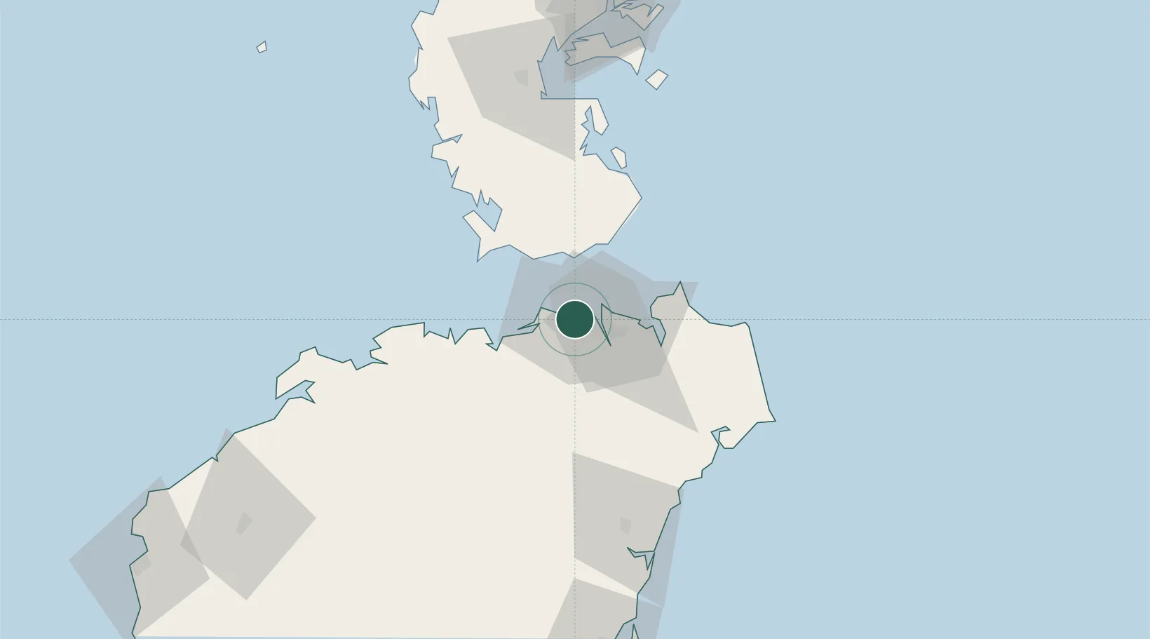
Region
Hainan
Population
2,873,358
Time zone
Asia/Shanghai
Elevation
9 m
Logistics facilities
1
Location
Nearby Logistics Neighbours
Cities
- 1Haikou Pt12 km
- 2Macun29 km
- 3Dongjiaotou Pt37 km
- 4Dongguo73 km
- 5Qinglan Pt77 km
Airports
- 1Haikou Meilan International Airport21 km
- 2Jialaishi Air Base69 km
- 3Qionghai Bo'ao Airport100 km
- 4Suixi Air Base153 km
- 5Zhanjiang Wuchuan International Airport165 km
DatabookThe Record of Consolidated Knowledge
China beyond logistics?