Transport Functions
Port
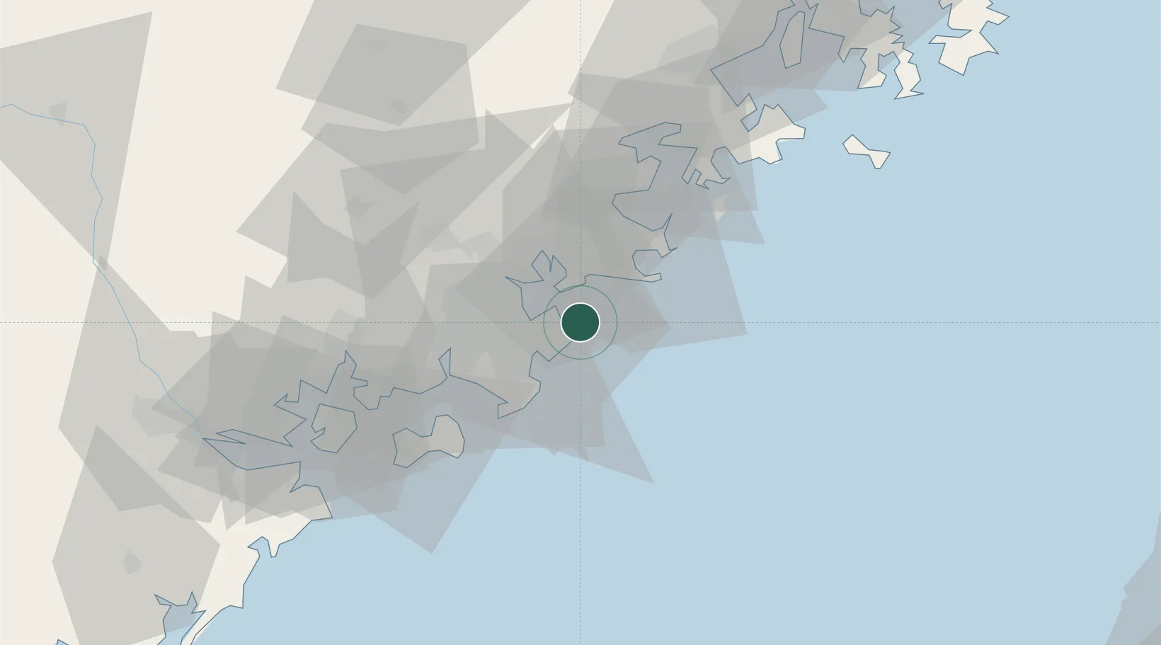
Hub Profile
Place type
Populated place
Region
Fujian
Time zone
Asia/Shanghai
Elevation
17 m
Location
Nearby Logistics Neighbours
Ports
- 1Quanzhou21 km
- 2Xiuyu56 km
- 3Zhangzhou63 km
- 4Xiamen79 km
- 5Peng-Hu Kang153 km
Airports
- 1Quanzhou Jinjiang International Airport18 km
- 2Huian Air Base29 km
- 3Kinmen Airport56 km
- 4Xiamen Gaoqi International Airport69 km
- 5Longtian Air Base114 km
Trade Zones
DatabookThe Record of Consolidated Knowledge
China beyond logistics?