Transport Functions
Port
Hub Profile
Place type
Provincial seat
Region
Fujian
Population
1,469,157
Time zone
Asia/Shanghai
Elevation
14 m
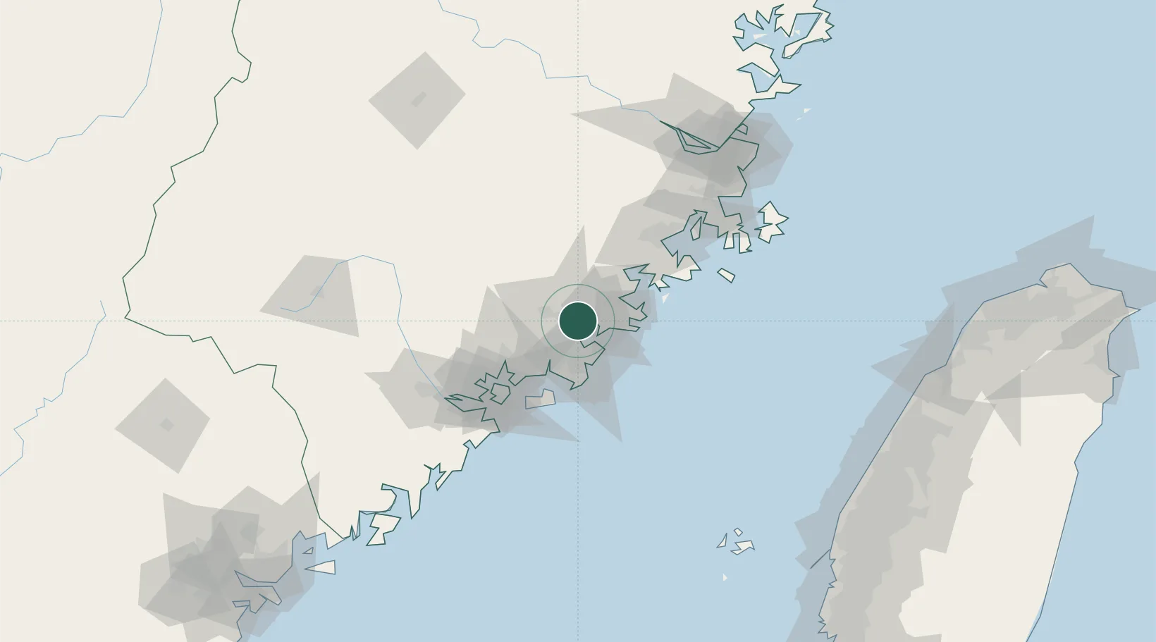
Location
Nearby Logistics Neighbours
Cities
- 1Houzhu9 km
- 2Shishi23 km
- 3Jinjiang Dry Port24 km
- 4Xiangzhi25 km
- 5Dongshi33 km
Airports
- 1Quanzhou Jinjiang International Airport15 km
- 2Huian Air Base23 km
- 3Kinmen Airport61 km
- 4Xiamen Gaoqi International Airport64 km
- 5Longtian Air Base112 km
Trade Zones
DatabookThe Record of Consolidated Knowledge
China beyond logistics?