Export Processing Zone · China

Nanan Economic Development Zone Active
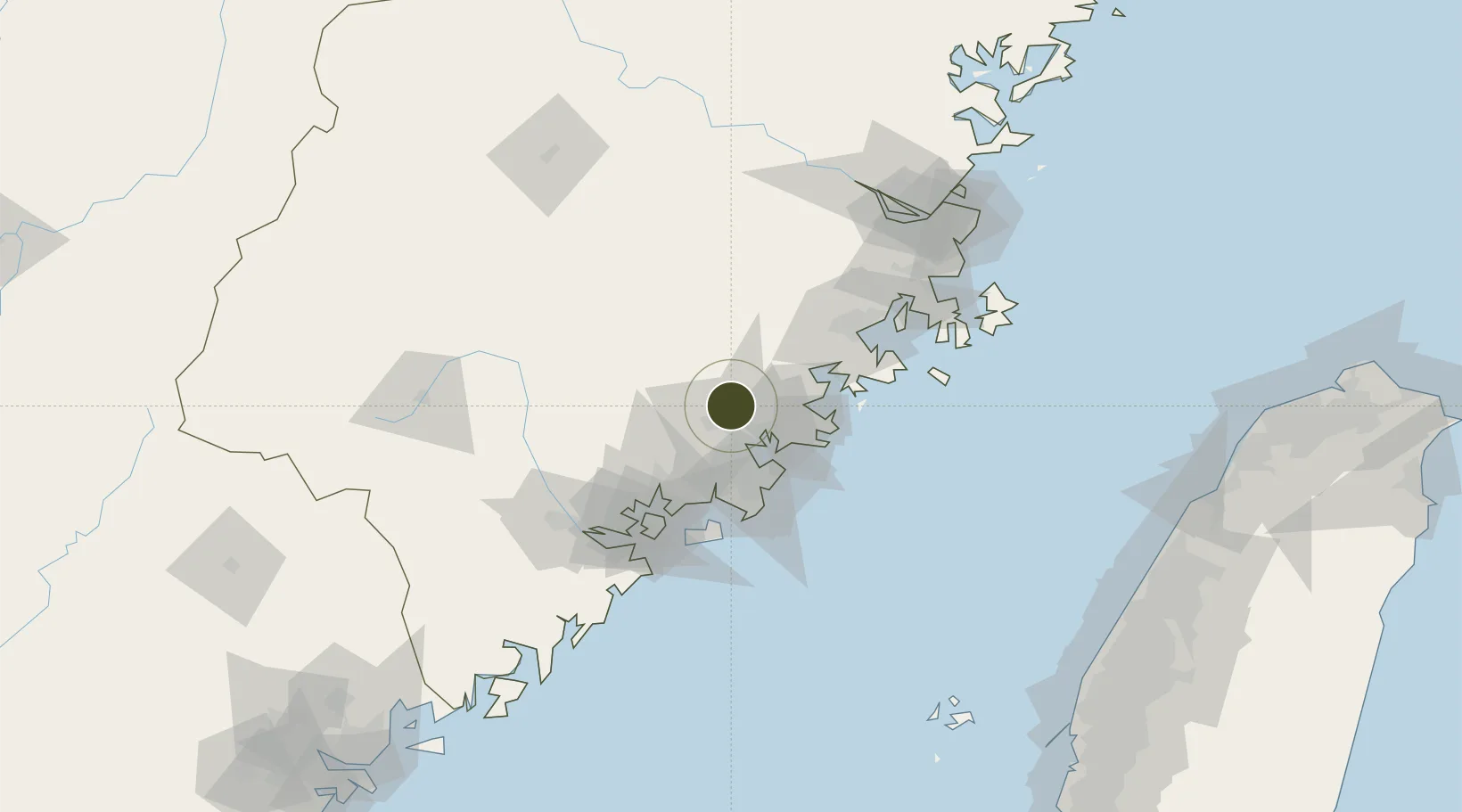
25.0678°, 118.5025°
4,350 ha
Zone area
22.7 km
Nearest port
31.0 km
Nearest airport

Gateway access

Nearest neighbours — logibook spatial index (haversine) over the source coordinates

Zone profile

Zone type
Export Processing Zone
Open Zone Map
Region
Fujian
Open Zone Map
Status
Active
Open Zone Map
Management
Public
Open Zone Map
Operator
Fujian Nan'an Economic Development Zone Management Committee
Open Zone Map
Legal framework
Unavailable
Open Zone Map

Location

Location of ozm-1420
Natural Earth 10m (public domain) · Fujian · ozm-1420 · 25.07, 118.50GoogleOSMYandex

Nearby Logistics Neighbours

Ports
  1. 1Quanzhou23 km
  2. 2Xiuyu52 km
  3. 3Zhangzhou56 km
  4. 4Xiamen82 km
  5. 5Fuzhou138 km
Nearest neighbours — logibook spatial index (haversine) over the source coordinates
Airports
  1. 1Huian Air Base31 km
  2. 2Quanzhou Jinjiang International Airport32 km
  3. 3Xiamen Gaoqi International Airport70 km
  4. 4Kinmen Airport73 km
  5. 5Longtian Air Base111 km
Nearest neighbours — logibook spatial index (haversine) over the source coordinates
Cities
  1. 1Quanzhou18 km
  2. 2Houzhu26 km
  3. 3Anxi,Quanzhou31 km
  4. 4Jinjiang Dry Port32 km
  5. 5Yongchun,Quanzhou39 km
Nearest neighbours — logibook spatial index (haversine) over the source coordinates
Trade Zones
  1. 1Quanzhou Export Processing Zone24 km
  2. 2Yongchun Industrial Park34 km
  3. 3Anxi Economic Development Zone35 km
  4. 4Huidong Industrial Park40 km
  5. 5Huian Economic Development Zone42 km
Nearest neighbours — logibook spatial index (haversine) over the source coordinates
DatabookThe Record of Consolidated Knowledge
China beyond logistics?
Browse databook

All Sources

Trade ZonesOpen Zone Map
CC BY
Portsthe NGA World Port Index
Public domain (US gov)
AirportsOurAirports
Public domain
LocationsUN/LOCODE
UN/LOCODE — free
← China trade zones