Large airport · China

Xiamen Gaoqi International AirportZSAM
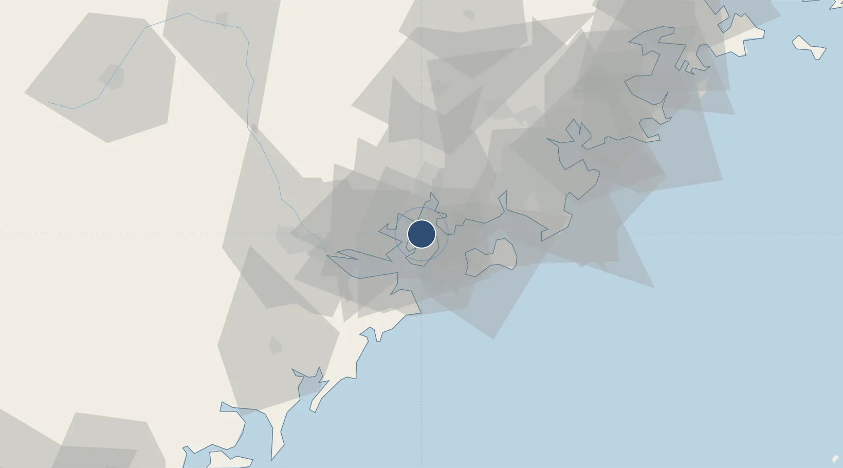
24.5439°, 118.1275°
11,155 ft
Longest runway
1
Runways
59 ft
Elevation

Runway & Layout

Xiamen Gaoqi International Airport runway & taxiway layout
Runway & taxiway layout — OpenStreetMap (ODbL) / OurAirports

Radio Frequencies

ATIS
126.25 MHz
TWR
118.25 MHz
XIAMEN TWR
GND
121.7 MHz
XIAMEN GND
APP
121.35 MHz
XIAMEN APP
OurAirports

Navaids

WF NDB Xinglin 296 kHz
XMN VOR-DME Xiamen 114.50 MHz
OurAirports

Runways · 1

RunwayDimensions SurfaceTrue headingLit
05/23 11,155 × 148ft Asphalt 053°
OurAirports

Airport Specifications

IATA code
XMN
OurAirports
ICAO code
ZSAM
OurAirports
Airport class
Large airport
OurAirports
Scheduled service
Yes
OurAirports
Runway surface
Asphalt
OurAirports
Served city
Xiamen
OurAirports

Location

Location of ZSAM
Natural Earth 10m (public domain) · Fujian · ZSAM · 24.54, 118.13GoogleOSMYandex

Nearby Logistics Neighbours

Airports
  1. 1Kinmen Airport27 km
  2. 2Quanzhou Jinjiang International Airport54 km
  3. 3Huian Air Base87 km
  4. 4Longtian Air Base176 km
  5. 5Penghu Magong Airport187 km
Nearest neighbours — logibook spatial index (haversine) over the source coordinates
Cities
  1. 1Jimei,Xiamen5 km
  2. 2Xiamen9 km
  3. 3Xiang'an, Xiamen16 km
  4. 4Dadeng I.19 km
  5. 5Tongan, Xiamen20 km
Nearest neighbours — logibook spatial index (haversine) over the source coordinates
Ports
  1. 1Xiamen12 km
  2. 2Zhangzhou16 km
  3. 3Quanzhou61 km
  4. 4Dongshan108 km
  5. 5Xiuyu116 km
Nearest neighbours — logibook spatial index (haversine) over the source coordinates
Trade Zones
  1. 1Xiamen Export Processing Zone14 km
  2. 2Tongan Industrial Park17 km
  3. 3Xiangan Industrial Park25 km
  4. 4Longhai Economic Development Zone25 km
  5. 5Changtai Economic Development Zone34 km
Nearest neighbours — logibook spatial index (haversine) over the source coordinates
DatabookThe Record of Consolidated Knowledge
China beyond logistics?
Browse databook

All Sources

AirportsOurAirports
Public domain
Portsthe NGA World Port Index
Public domain (US gov)
LocationsUN/LOCODE
UN/LOCODE — free
Trade Zonesthe World Bank SEZ database
CC BY 4.0
Trade ZonesOpen Zone Map
CC BY
InfrastructureOpenStreetMap
ODbL 1.0
← China airports