Diversified Zone · China

Junliangcheng Industrial Park Active
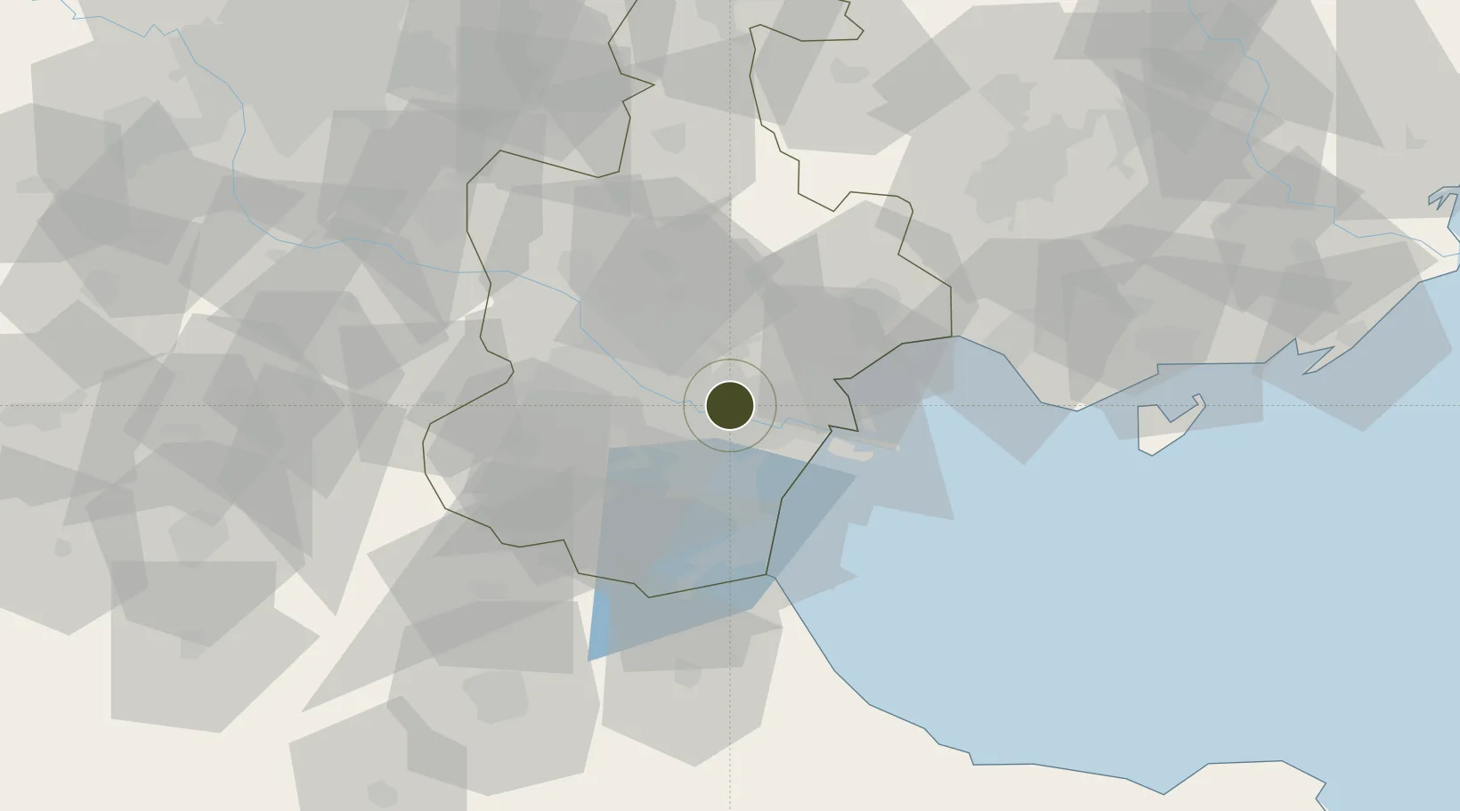
39.0453°, 117.4535°
1,865 ha
Zone area
34.0 km
Nearest port
12.8 km
Nearest airport

Gateway access

Nearest neighbours — logibook spatial index (haversine) over the source coordinates

Zone profile

Zone type
Diversified Zone
Open Zone Map
Region
Tianjin
Open Zone Map
Status
Active
Open Zone Map
Management
Public
Open Zone Map
Operator
Junliangcheng Industrial Park
Open Zone Map
Legal framework
It was established in September 2008
Open Zone Map

Location

Location of ozm-806
Natural Earth 10m (public domain) · Tianjin · ozm-806 · 39.05, 117.45GoogleOSMYandex

Nearby Logistics Neighbours

Ports
  1. 1Tianjin Xin Gang34 km
  2. 2Tangshan (Jingtang)136 km
  3. 3Qinhuangdao210 km
  4. 4Longkou Gang293 km
  5. 5Penglai325 km
Nearest neighbours — logibook spatial index (haversine) over the source coordinates
Airports
  1. 1Tianjin Binhai International Airport13 km
  2. 2Tangguantun Air Base44 km
  3. 3Yangcun Air Base48 km
  4. 4Cangxian Air Base85 km
  5. 5Tangshan Sannühe Airport88 km
Nearest neighbours — logibook spatial index (haversine) over the source coordinates
Cities
  1. 1Dongli ,Tianjing14 km
  2. 2Tanggu17 km
  3. 3Tianjin21 km
  4. 4Heping22 km
  5. 5Tianjin Xingang Pt26 km
Nearest neighbours — logibook spatial index (haversine) over the source coordinates
Trade Zones
  1. 1Jinnan Economic Development Zone6 km
  2. 2Tianjin High-tech Industrial Development Zone10 km
  3. 3Dagang Economic Development Zone20 km
  4. 4Tianjin Export Processing Zone24 km
  5. 5Dagang Petrochemical Industrial Park24 km
Nearest neighbours — logibook spatial index (haversine) over the source coordinates
DatabookThe Record of Consolidated Knowledge
China beyond logistics?
Browse databook

All Sources

Trade ZonesOpen Zone Map
CC BY
Portsthe NGA World Port Index
Public domain (US gov)
AirportsOurAirports
Public domain
LocationsUN/LOCODE
UN/LOCODE — free
← China trade zones