Free Trade Zone · China

Yilan Economic Development Zone Active
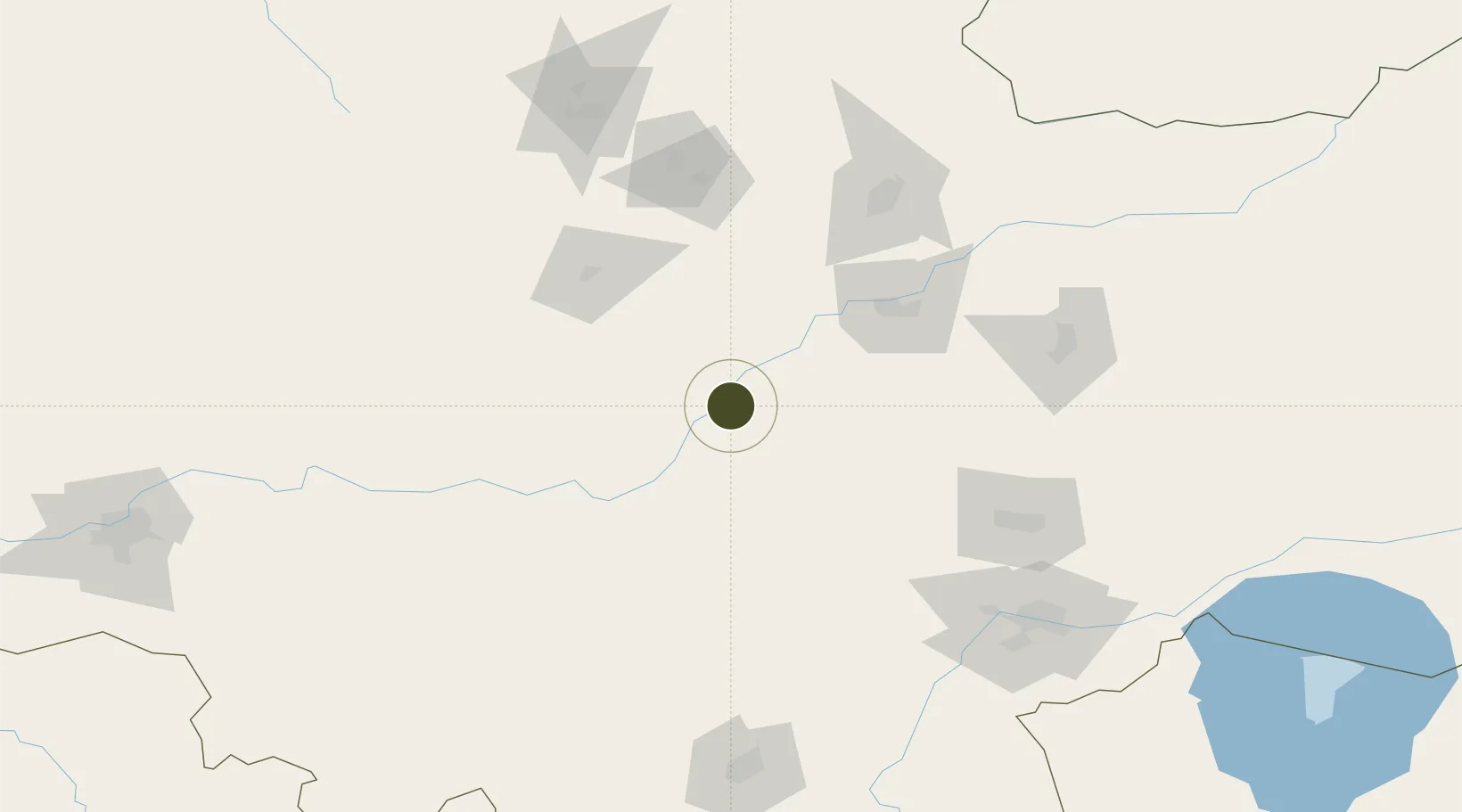
46.3287°, 129.5666°
1,531 ha
Zone area
402.2 km
Nearest port
89.3 km
Nearest airport

Gateway access

Nearest neighbours — logibook spatial index (haversine) over the source coordinates

Zone profile

Zone type
Free Trade Zone
Open Zone Map
Region
Heilongjiang
Open Zone Map
Status
Active
Open Zone Map
Management
Public
Open Zone Map
Operator
Working Committee of Yilan Economic Development Zone
Open Zone Map
Legal framework
Outline of the 13th five-year Plan (2016-2020) for national economic and social Development of Yilan County
Open Zone Map

Location

Location of ozm-1550
Natural Earth 10m (public domain) · Heilongjiang · ozm-1550 · 46.33, 129.57GoogleOSMYandex

Nearby Logistics Neighbours

Ports
  1. 1Vladivostok402 km
  2. 2Slavyanka411 km
  3. 3Pos'yet421 km
  4. 4Zarubino428 km
  5. 5Najin459 km
Nearest neighbours — logibook spatial index (haversine) over the source coordinates
Airports
  1. 1Jiamusi Songjiang International Airport89 km
  2. 2Yichun Lindu Airport164 km
  3. 3Jixi Xingkaihu Airport171 km
  4. 4Mudanjiang Hailang International Airport201 km
  5. 5Lalin Air Base239 km
Nearest neighbours — logibook spatial index (haversine) over the source coordinates
Cities
  1. 1Huachuan116 km
  2. 2Tieli137 km
  3. 3Luobei167 km
  4. 4Bayan169 km
  5. 5Shanshi199 km
Nearest neighbours — logibook spatial index (haversine) over the source coordinates
Trade Zones
  1. 1Jiamusi Economic Development Zone74 km
  2. 2Fangzheng Economic Development Zone78 km
  3. 3Jiamusi High-tech Industrial Development Zone88 km
  4. 4Nancha New Energy Industrial Park94 km
  5. 5Tangyuan County Industrial Park97 km
Nearest neighbours — logibook spatial index (haversine) over the source coordinates
DatabookThe Record of Consolidated Knowledge
China beyond logistics?
Browse databook

All Sources

Trade ZonesOpen Zone Map
CC BY
Portsthe NGA World Port Index
Public domain (US gov)
AirportsOurAirports
Public domain
LocationsUN/LOCODE
UN/LOCODE — free
← China trade zones