Transport Functions
Port
Hub Profile
Place type
District seat
Region
Heilongjiang
Population
42,109
Time zone
Asia/Shanghai
Elevation
85 m
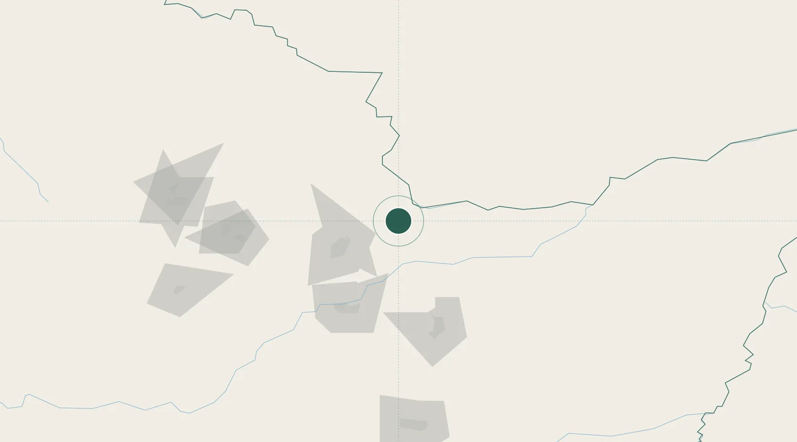
Location
Nearby Logistics Neighbours
Ports
- 1Vladivostok503 km
- 2Slavyanka525 km
- 3Pos'yet547 km
- 4Zarubino549 km
- 5Nakhodka554 km
Airports
- 1Jiamusi Songjiang International Airport85 km
- 2Yichun Lindu Airport136 km
- 3Jiansanjiang Shidi Airport148 km
- 4Jixi Xingkaihu Airport255 km
- 5Fuyuan Dongji Airport274 km
DatabookThe Record of Consolidated Knowledge
China beyond logistics?