Transport Functions
Port
Hub Profile
Place type
District seat
Region
Heilongjiang
Time zone
Asia/Shanghai
Elevation
82 m
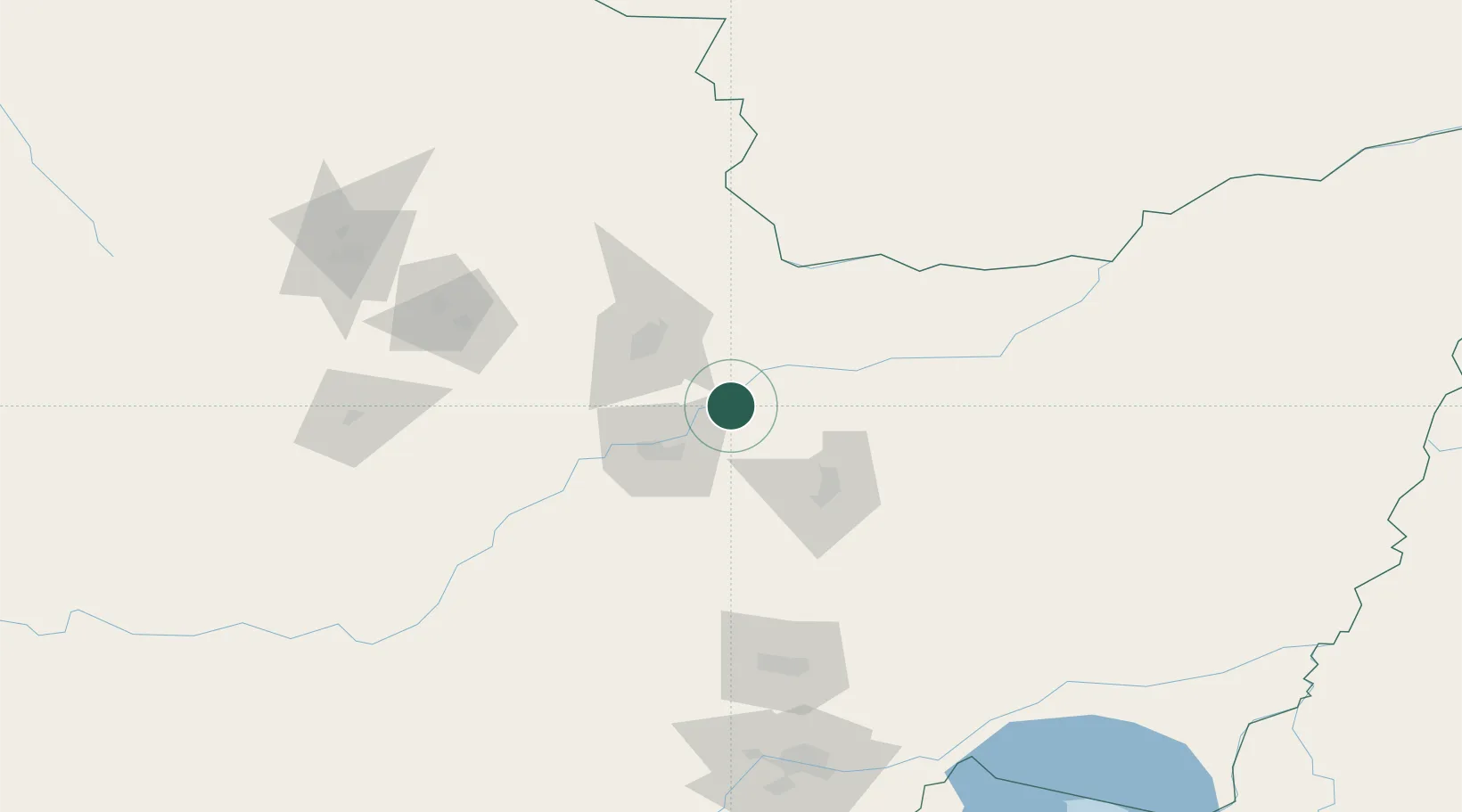
Location
Nearby Logistics Neighbours
Ports
- 1Vladivostok444 km
- 2Slavyanka465 km
- 3Pos'yet486 km
- 4Zarubino488 km
- 5Nakhodka499 km
Airports
- 1Jiamusi Songjiang International Airport26 km
- 2Jiansanjiang Shidi Airport149 km
- 3Yichun Lindu Airport151 km
- 4Jixi Xingkaihu Airport195 km
- 5Dalnerechensk Airport265 km
DatabookThe Record of Consolidated Knowledge
China beyond logistics?