Export Processing Zone · China

Fengrun Economic Development Zone Active
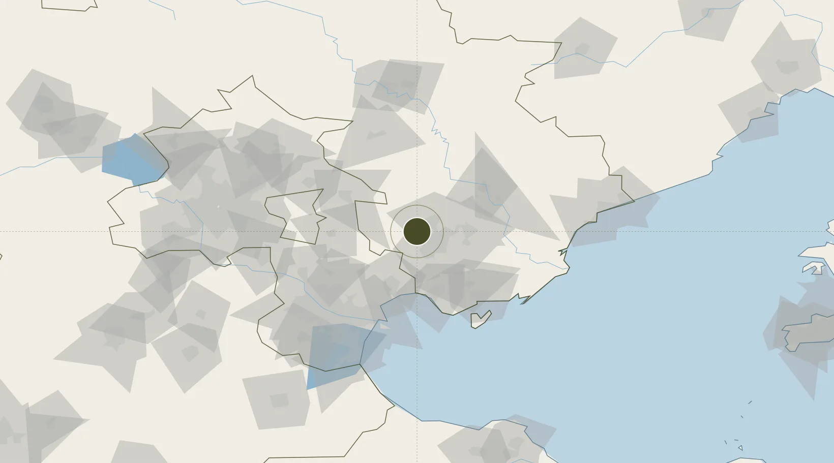
39.7350°, 118.0241°
1,331 ha
Zone area
87.0 km
Nearest port
2.6 km
Nearest airport

Gateway access

Nearest neighbours — logibook spatial index (haversine) over the source coordinates

Zone profile

Zone type
Export Processing Zone
Open Zone Map
Region
Hebei
Open Zone Map
Status
Active
Open Zone Map
Management
Public
Open Zone Map
Operator
Fengrun Economic Development Zone Management Committee
Open Zone Map
Legal framework
Unavailable
Open Zone Map

Location

Location of ozm-1301
Natural Earth 10m (public domain) · Hebei · ozm-1301 · 39.73, 118.02GoogleOSMYandex

Nearby Logistics Neighbours

Ports
  1. 1Tianjin Xin Gang87 km
  2. 2Tangshan (Jingtang)104 km
  3. 3Qinhuangdao138 km
  4. 4Huludao Gang273 km
  5. 5Jinzhou Wan284 km
Nearest neighbours — logibook spatial index (haversine) over the source coordinates
Airports
  1. 1Tangshan Sannühe Airport3 km
  2. 2Tangshan Zunhua Air Base43 km
  3. 3Qinhuangdao Beidaihe Airport89 km
  4. 4Yangcun Air Base89 km
  5. 5Tianjin Binhai International Airport89 km
Nearest neighbours — logibook spatial index (haversine) over the source coordinates
Cities
  1. 1Tangshan Pt18 km
  2. 2Yutai71 km
  3. 3Tianjin82 km
  4. 4Tianjin Xingang Pt83 km
  5. 5Tanggu86 km
Nearest neighbours — logibook spatial index (haversine) over the source coordinates
Trade Zones
  1. 1Tangshan Guye Economic Development Zone38 km
  2. 2Lutai Economic Development Zone45 km
  3. 3Zunhua Economic Development Zone52 km
  4. 4Tangshan Nanpu Economic Development Zone56 km
  5. 5Tianjin Special Vehicle Industrial Park56 km
Nearest neighbours — logibook spatial index (haversine) over the source coordinates
DatabookThe Record of Consolidated Knowledge
China beyond logistics?
Browse databook

All Sources

Trade ZonesOpen Zone Map
CC BY
Portsthe NGA World Port Index
Public domain (US gov)
AirportsOurAirports
Public domain
LocationsUN/LOCODE
UN/LOCODE — free
← China trade zones