Transport Functions
Rail
Road
Airport
Multimodal
Hub Profile
Place type
Provincial seat
Region
Guizhou
Population
275,745
Time zone
Asia/Shanghai
Elevation
701 m
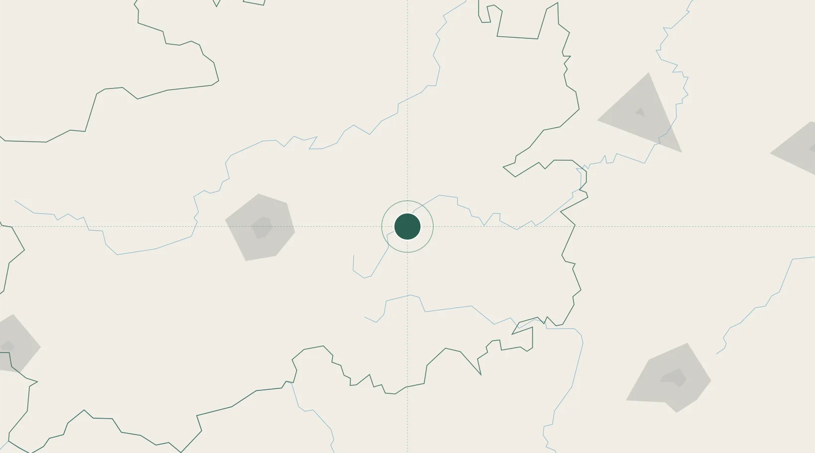
Location
Nearby Logistics Neighbours
Cities
- 1Defeng122 km
- 2Guiyang126 km
- 3Zunyi162 km
- 4Tongren174 km
- 5Huangjiang177 km
Ports
- 1Fang-Cheng539 km
- 2Qinzhou543 km
- 3Beihai578 km
- 4Cam Pha620 km
- 5Hon Gai633 km
Airports
- 1Kaili Huangping Airport43 km
- 2Jiuzhou Airport51 km
- 3Guiyang Longdongbao International Airport116 km
- 4Liping Airport121 km
- 5Libo Airport126 km
DatabookThe Record of Consolidated Knowledge
China beyond logistics?