Export Processing Zone · China

Xiangxiang Economic Development Zone Active
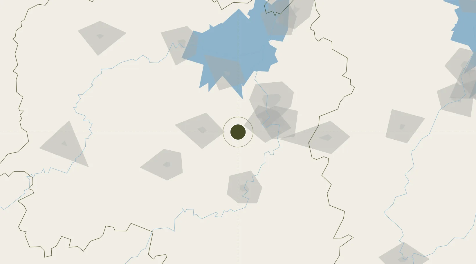
27.7343°, 112.5214°
1,241 ha
Zone area
360.0 km
Nearest port
29.3 km
Nearest airport

Gateway access

Nearest neighbours — logibook spatial index (haversine) over the source coordinates

Zone profile

Zone type
Export Processing Zone
Open Zone Map
Region
Hunan
Open Zone Map
Status
Active
Open Zone Map
Management
Public
Open Zone Map
Operator
Working Committee of Xiangxiang Economic Development Zone
Open Zone Map
Legal framework
The environmental impact assessment of the expansion planning of Xiangxiang Economic Development Zone in Hunan province has been published for the second time
Open Zone Map

Location

Location of ozm-1290
Natural Earth 10m (public domain) · Hunan · ozm-1290 · 27.73, 112.52GoogleOSMYandex

Nearby Logistics Neighbours

Ports
  1. 1Hankow360 km
  2. 2Guangzhou518 km
  3. 3Huangpu525 km
  4. 4Huangpuxingang530 km
  5. 5Huizhou593 km
Nearest neighbours — logibook spatial index (haversine) over the source coordinates
Airports
  1. 1Ningxiang Airport29 km
  2. 2Changsha Datuopu Airport / Changsha Air Base57 km
  3. 3Changsha Huanghua International Airport85 km
  4. 4Shaodong Airport101 km
  5. 5Hengyang Nanyue Airport113 km
Nearest neighbours — logibook spatial index (haversine) over the source coordinates
Cities
  1. 1Shaoshan19 km
  2. 2Xiangtan39 km
  3. 3Zhuzhou63 km
  4. 4Kaiyun65 km
  5. 5Changsha69 km
Nearest neighbours — logibook spatial index (haversine) over the source coordinates
DatabookThe Record of Consolidated Knowledge
China beyond logistics?
Browse databook

All Sources

Trade ZonesOpen Zone Map
CC BY
Portsthe NGA World Port Index
Public domain (US gov)
AirportsOurAirports
Public domain
LocationsUN/LOCODE
UN/LOCODE — free
← China trade zones