Medium airport · China

Guangzhou MR Air Base / Guanghua AirportZHGH

32.3887°, 111.6942°

Runway & Layout

Guangzhou MR Air Base / Guanghua Airport runway & taxiway layout
Runway & taxiway layout — OpenStreetMap (ODbL) / OurAirports

Airport Specifications

IATA code
LHK
OurAirports
ICAO code
ZHGH
OurAirports
Airport class
Medium airport
OurAirports
Scheduled service
No
OurAirports
Served city
Xiangyang (Laohekou)
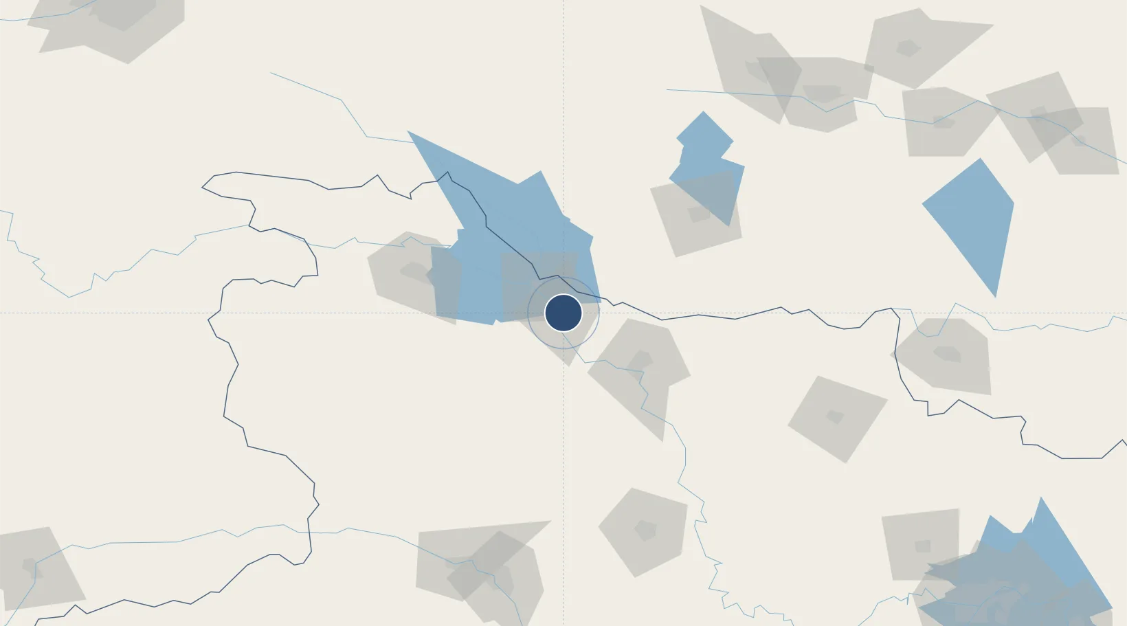
OurAirports

Location

Location of ZHGH
Natural Earth 10m (public domain) · Hubei · ZHGH · 32.39, 111.69GoogleOSMYandex

Nearby Logistics Neighbours

Airports
  1. 1Xiangyang Liuji Airport62 km
  2. 2Shiyan Wudangshan Airport77 km
  3. 3Nanyang Jiangying Airport109 km
  4. 4Shennongjia Hongping Airport153 km
  5. 5Dangyang Air Base177 km
Nearest neighbours — logibook spatial index (haversine) over the source coordinates
Cities
  1. 1Xiangfan57 km
  2. 2Shiyan91 km
  3. 3Nanyang104 km
  4. 4Badong195 km
  5. 5Pingdingshan212 km
Nearest neighbours — logibook spatial index (haversine) over the source coordinates
Ports
  1. 1Hankow317 km
  2. 2Nanjing664 km
  3. 3Yangzhou727 km
  4. 4Zhenjiang728 km
  5. 5Lianyungang764 km
Nearest neighbours — logibook spatial index (haversine) over the source coordinates
Trade Zones
  1. 1Laohekou Economic Development Zone3 km
  2. 2Gucheng Economic Development Zone16 km
  3. 3Xiang Yang High-Tech Industrial Development Zone50 km
  4. 4Baokang Economic Development Zone59 km
  5. 5Xinye County Industrial Cluster65 km
Nearest neighbours — logibook spatial index (haversine) over the source coordinates
DatabookThe Record of Consolidated Knowledge
China beyond logistics?
Browse databook

All Sources

AirportsOurAirports
Public domain
Portsthe NGA World Port Index
Public domain (US gov)
LocationsUN/LOCODE
UN/LOCODE — free
Trade Zonesthe World Bank SEZ database
CC BY 4.0
Trade ZonesOpen Zone Map
CC BY
InfrastructureOpenStreetMap
ODbL 1.0
← China airports