Transport Functions
Port
Rail
Airport
Multimodal
Postal
Hub Profile
Place type
Regional capital
Region
Shaanxi
Population
9,600,000
Time zone
Asia/Shanghai
Elevation
416 m
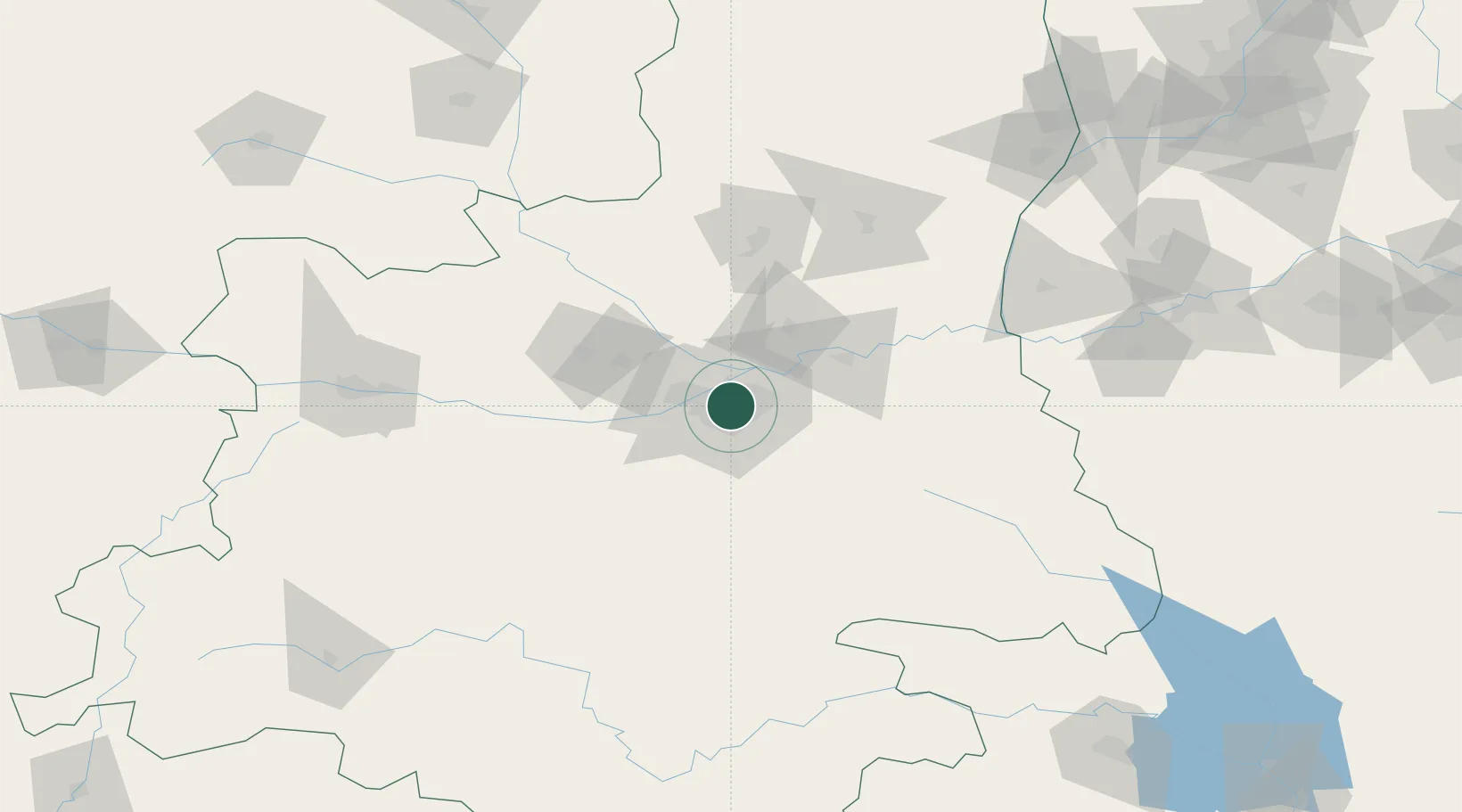
Location
Nearby Logistics Neighbours
Ports
- 1Hankow648 km
- 2Nanjing944 km
- 3Tianjin Xin Gang948 km
- 4Lanshan956 km
- 5Lianyungang963 km
Airports
- 1Xi'an Xiguan Airport19 km
- 2Xi'an Xianyang International Airport26 km
- 3Xi'an Air Base35 km
- 4Yanliang Air Base48 km
- 5Wugong Air Base63 km
DatabookThe Record of Consolidated Knowledge
China beyond logistics?