Diversified Zone · China

Shiyan Xicheng Economic Development Zone Active
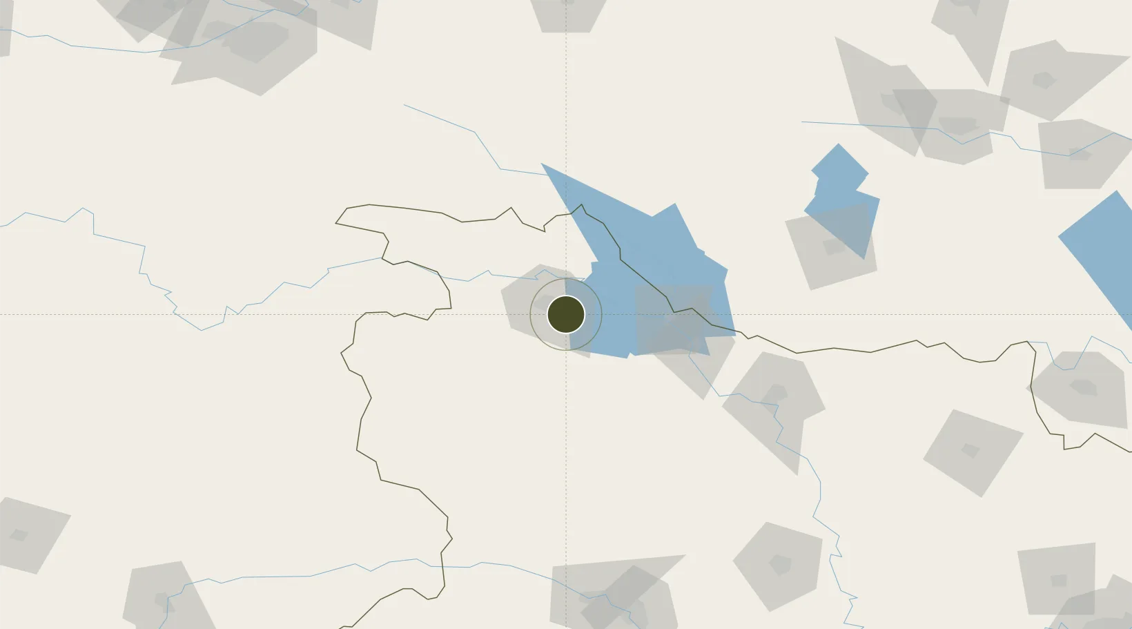
32.5846°, 110.8781°
3,700 ha
Zone area
391.8 km
Nearest port
2.8 km
Nearest airport

Gateway access

Nearest neighbours — logibook spatial index (haversine) over the source coordinates

Zone profile

Zone type
Diversified Zone
Open Zone Map
Region
Hubei
Open Zone Map
Status
Active
Open Zone Map
Management
Public
Open Zone Map
Operator
Working Committee of Shiyan Xicheng Economic Development Zone
Open Zone Map
Legal framework
Interpretation on the urban development Plan of Shiyan Economic and Technological Development Zone
Open Zone Map

Location

Location of ozm-919
Natural Earth 10m (public domain) · Hubei · ozm-919 · 32.58, 110.88GoogleOSMYandex

Nearby Logistics Neighbours

Ports
  1. 1Hankow392 km
  2. 2Nanjing742 km
  3. 3Yangzhou804 km
  4. 4Zhenjiang804 km
  5. 5Lianyungang828 km
Nearest neighbours — logibook spatial index (haversine) over the source coordinates
Airports
  1. 1Shiyan Wudangshan Airport3 km
  2. 2Guangzhou MR Air Base / Guanghua Airport80 km
  3. 3Shennongjia Hongping Airport118 km
  4. 4Xiangyang Liuji Airport141 km
  5. 5Nanyang Jiangying Airport169 km
Nearest neighbours — logibook spatial index (haversine) over the source coordinates
Cities
  1. 1Shiyan13 km
  2. 2Xiangfan133 km
  3. 3Nanyang162 km
  4. 4Badong179 km
  5. 5Baiyang247 km
Nearest neighbours — logibook spatial index (haversine) over the source coordinates
Trade Zones
  1. 1Fangxian Industrial Park60 km
  2. 2Gucheng Economic Development Zone76 km
  3. 3Laohekou Economic Development Zone81 km
  4. 4Panshui Ecological Industrial Park96 km
  5. 5110Shangnan County Industrial Concentration Zone101 km
Nearest neighbours — logibook spatial index (haversine) over the source coordinates
DatabookThe Record of Consolidated Knowledge
China beyond logistics?
Browse databook

All Sources

Trade ZonesOpen Zone Map
CC BY
Portsthe NGA World Port Index
Public domain (US gov)
AirportsOurAirports
Public domain
LocationsUN/LOCODE
UN/LOCODE — free
← China trade zones