Medium airport · China

Shiyan Wudangshan AirportZHSY
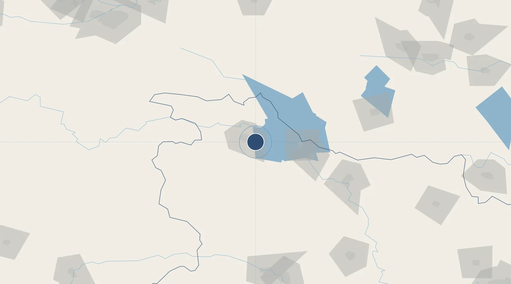
32.5929°, 110.9063°
8,530 ft
Longest runway
1
Runways

Runway & Layout

Shiyan Wudangshan Airport runway & taxiway layout
Runway & taxiway layout — OpenStreetMap (ODbL) / OurAirports

Runways · 1

RunwayDimensions SurfaceTrue headingLit
13/31 8,530 × 148ft
OurAirports

Airport Specifications

IATA code
WDS
OurAirports
ICAO code
ZHSY
OurAirports
Airport class
Medium airport
OurAirports
Scheduled service
Yes
OurAirports
Served city
Shiyan (Maojian)
OurAirports

Location

Location of ZHSY
Natural Earth 10m (public domain) · Hubei · ZHSY · 32.59, 110.91GoogleOSMYandex

Nearby Logistics Neighbours

Airports
  1. 1Guangzhou MR Air Base / Guanghua Airport77 km
  2. 2Shennongjia Hongping Airport120 km
  3. 3Xiangyang Liuji Airport139 km
  4. 4Nanyang Jiangying Airport166 km
  5. 5Ankang Fuqiang Airport191 km
Nearest neighbours — logibook spatial index (haversine) over the source coordinates
Cities
  1. 1Shiyan14 km
  2. 2Xiangfan131 km
  3. 3Nanyang159 km
  4. 4Badong180 km
  5. 5Baiyang247 km
Nearest neighbours — logibook spatial index (haversine) over the source coordinates
Ports
  1. 1Hankow390 km
  2. 2Nanjing739 km
  3. 3Yangzhou801 km
  4. 4Zhenjiang801 km
  5. 5Lianyungang825 km
Nearest neighbours — logibook spatial index (haversine) over the source coordinates
Trade Zones
  1. 1Shiyan Xicheng Economic Development Zone3 km
  2. 2Fangxian Industrial Park61 km
  3. 3Gucheng Economic Development Zone74 km
  4. 4Laohekou Economic Development Zone79 km
  5. 5Panshui Ecological Industrial Park97 km
Nearest neighbours — logibook spatial index (haversine) over the source coordinates
DatabookThe Record of Consolidated Knowledge
China beyond logistics?
Browse databook

All Sources

AirportsOurAirports
Public domain
Portsthe NGA World Port Index
Public domain (US gov)
LocationsUN/LOCODE
UN/LOCODE — free
Trade Zonesthe World Bank SEZ database
CC BY 4.0
Trade ZonesOpen Zone Map
CC BY
InfrastructureOpenStreetMap
ODbL 1.0
← China airports