Medium airport · China
Baise (Bose) Bama AirportZGBS
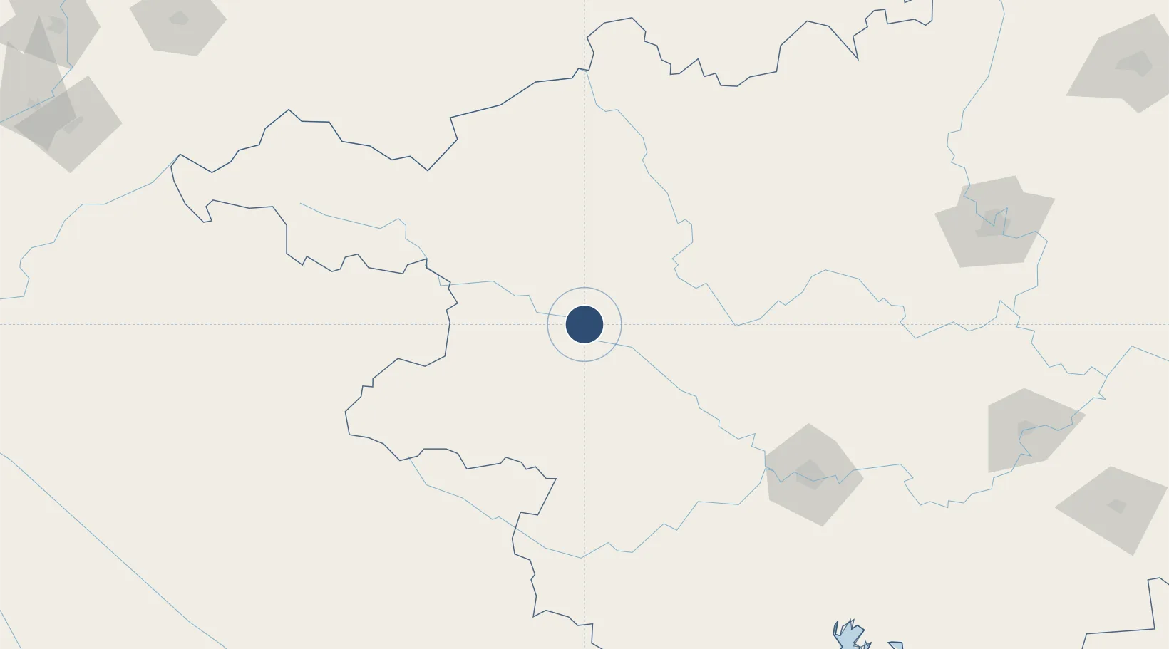
23.7206°, 106.9600°
8,202 ft
Longest runway
1
Runways
490 ft
Elevation
Runway & Layout

Runways · 1
| Runway | Dimensions | Surface | True heading | Lit |
|---|---|---|---|---|
| 12/30 | 8,202 × 145ft | Concrete | — | — |
Airport Specifications
IATA code
AEB
ICAO code
ZGBS
Airport class
Medium airport
Scheduled service
Yes
Runway surface
Concrete
Served city
Baise (Tianyang)
Location
Nearby Logistics Neighbours
Airports
- 1Hechi Jinchengjiang Airport143 km
- 2Nanning Wuxu International Airport177 km
- 3Baihe Ningming Air Base179 km
- 4Libo Airport218 km
- 5Xingyi Wanfenglin Airport253 km
Cities
- 1Shuolong104 km
- 2Huangjiang158 km
- 3Nanning172 km
- 4Pingxiang Railway Station180 km
- 5Baiceng224 km
Ports
- 1Fang-Cheng261 km
- 2Qinzhou277 km
- 3Cam Pha302 km
- 4Hon Gai308 km
- 5Hai Phong313 km
DatabookThe Record of Consolidated Knowledge
China beyond logistics?