Transport Functions
Port
Road
Airport
Postal
Hub Profile
Place type
Regional capital
Region
Guangxi
Population
3,839,800
Time zone
Asia/Shanghai
Elevation
91 m
Logistics facilities
1
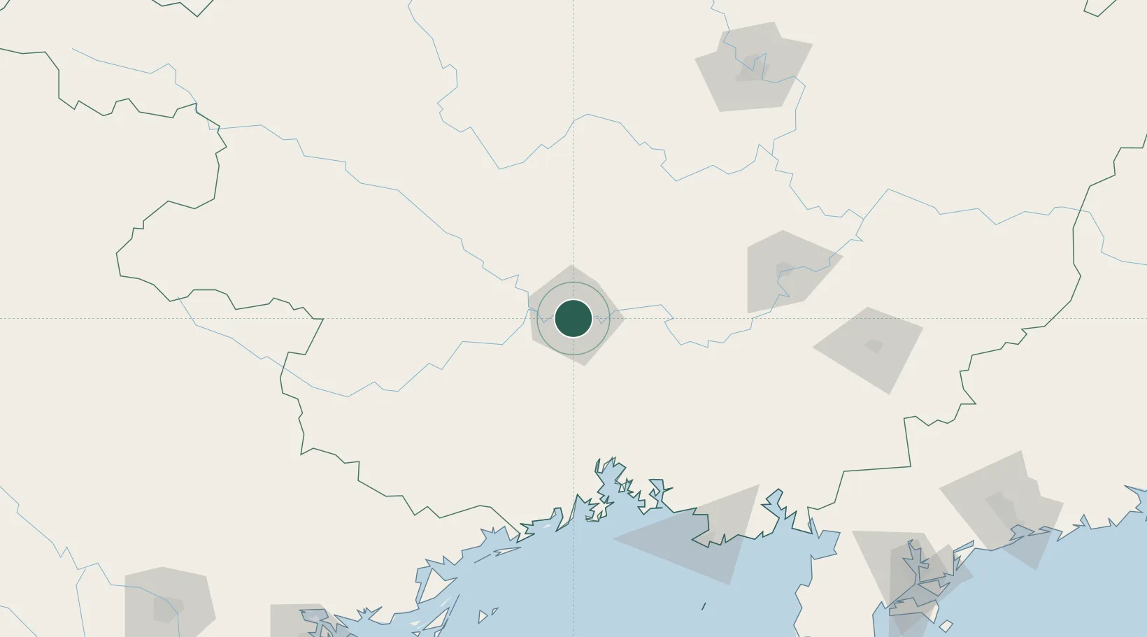
Location
Nearby Logistics Neighbours
Cities
- 1Hezhou98 km
- 2Jiangshan Pt130 km
- 3Fangcheng Pt132 km
- 4Guicheng135 km
- 5Qisha Pt136 km
Ports
- 1Fang-Cheng117 km
- 2Qinzhou122 km
- 3Beihai166 km
- 4Cam Pha220 km
- 5Hon Gai243 km
Airports
- 1Nanning Wuxu International Airport26 km
- 2Baihe Ningming Air Base144 km
- 3Baise (Bose) Bama Airport172 km
- 4Beihai Fucheng Airport173 km
- 5Guiping Mengxu Air Base183 km
DatabookThe Record of Consolidated Knowledge
China beyond logistics?