UN/LOCODE hub · China
CNPXM

Pingshaxinmatou

22.1000°, 113.1667°
1
Transport functions

Transport Functions

Port
UN/LOCODE

Hub Profile

Region
GD
GeoNames

Location

Location of CNPXM
Natural Earth 10m (public domain) · GD · CNPXM · 22.10, 113.17GoogleOSMYandex

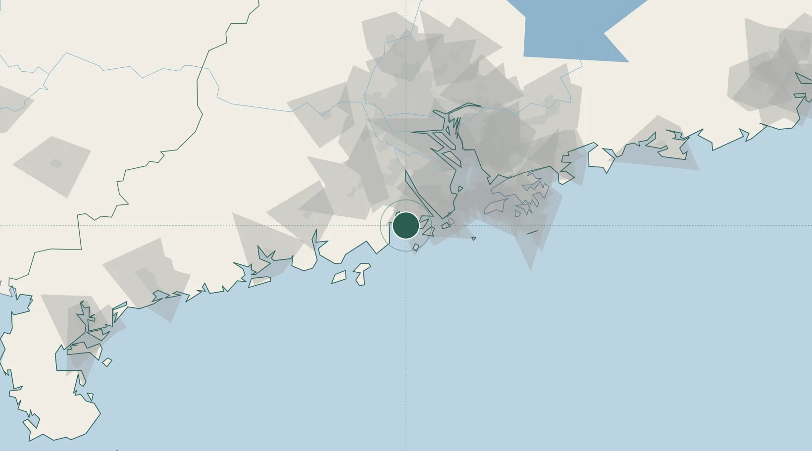
Nearby Logistics Neighbours

Cities
  1. 1Gaolan19 km
  2. 2Sanzao20 km
  3. 3Civet / Guandong21 km
  4. 4Shadui23 km
  5. 5Shenwan29 km
Nearest neighbours — logibook spatial index (haversine) over the source coordinates
Ports
  1. 1Macau42 km
  2. 2Zhuhai45 km
  3. 3Shekou83 km
  4. 4Hong Kong108 km
  5. 5Huangpuxingang111 km
Nearest neighbours — logibook spatial index (haversine) over the source coordinates
Airports
  1. 1Zhuhai Jinwan Airport24 km
  2. 2Macau International Airport44 km
  3. 3Hong Kong International Airport81 km
  4. 4Shenzhen Bao'an International Airport89 km
  5. 5Shek Kong Air Base101 km
Nearest neighbours — logibook spatial index (haversine) over the source coordinates
Trade Zones
  1. 1Zhuhai Jinwan Liangang Industrial Park24 km
  2. 2Taishan Guanghaiwan Industrial Park36 km
  3. 3Jiangmen Xinhui Economic Development Zone40 km
  4. 4Zhongshan Industrial Park51 km
  5. 5Zhongshan Industrial Park61 km
Nearest neighbours — logibook spatial index (haversine) over the source coordinates
DatabookThe Record of Consolidated Knowledge
China beyond logistics?
Browse databook

All Sources

LocationsUN/LOCODE
UN/LOCODE — free
Portsthe NGA World Port Index
Public domain (US gov)
AirportsOurAirports
Public domain
Trade Zonesthe World Bank SEZ database
CC BY 4.0
Trade ZonesOpen Zone Map
CC BY
← China locations