Export Processing Zone · China

Qihe Economic Development Zone Active
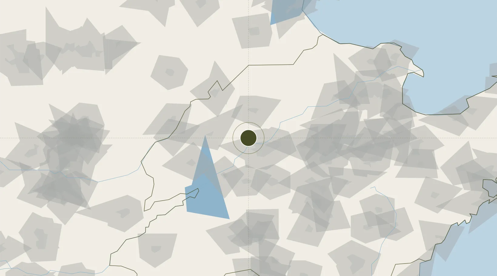
36.8123°, 116.7906°
13,582 ha
Zone area
256.4 km
Nearest port
38.2 km
Nearest airport

Gateway access

Nearest neighbours — logibook spatial index (haversine) over the source coordinates

Zone profile

Zone type
Export Processing Zone
Open Zone Map
Region
Shandong
Open Zone Map
Status
Active
Open Zone Map
Management
Public
Open Zone Map
Operator
Working Committee of Qihe Economic Development Zone
Open Zone Map
Legal framework
Master Plan of Qihe County (2018-2035)
Open Zone Map

Location

Location of ozm-1464
Natural Earth 10m (public domain) · Shandong · ozm-1464 · 36.81, 116.79GoogleOSMYandex

Nearby Logistics Neighbours

Ports
  1. 1Tianjin Xin Gang256 km
  2. 2Rizhao296 km
  3. 3Lanshan301 km
  4. 4Longkou Gang322 km
  5. 5Qingdao Gang323 km
Nearest neighbours — logibook spatial index (haversine) over the source coordinates
Airports
  1. 1Jinan Yaoqiang International Airport38 km
  2. 2Jiugucheng Air Base96 km
  3. 3Guodu Air Base117 km
  4. 4Jining Da'an Airport130 km
  5. 5Jining Qufu Airport174 km
Nearest neighbours — logibook spatial index (haversine) over the source coordinates
Cities
  1. 1Pingdu18 km
  2. 2Jinan25 km
  3. 3Taian76 km
  4. 4Dezhou82 km
  5. 5Liaocheng94 km
Nearest neighbours — logibook spatial index (haversine) over the source coordinates
Trade Zones
  1. 1Huaiyin Industrial Park17 km
  2. 2Jinan Economic Development Zone25 km
  3. 3Jinan (Jinan) Hi-Tech Industrial Development Zone34 km
  4. 4Jibei Economic Development Zone40 km
  5. 5Jinan Export Processing Zone42 km
Nearest neighbours — logibook spatial index (haversine) over the source coordinates
DatabookThe Record of Consolidated Knowledge
China beyond logistics?
Browse databook

All Sources

Trade ZonesOpen Zone Map
CC BY
Portsthe NGA World Port Index
Public domain (US gov)
AirportsOurAirports
Public domain
LocationsUN/LOCODE
UN/LOCODE — free
← China trade zones