Free Trade Zone · China

Pingxin Industrial Cluster Active
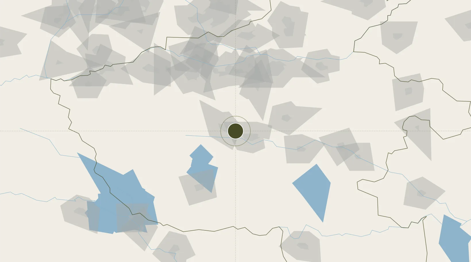
33.8401°, 113.0792°
277 ha
Zone area
379.4 km
Nearest port
24.5 km
Nearest airport

Gateway access

Nearest neighbours — logibook spatial index (haversine) over the source coordinates

Zone profile

Zone type
Free Trade Zone
Open Zone Map
Region
Henan
Open Zone Map
Status
Active
Open Zone Map
Management
Public
Open Zone Map
Operator
Pingdingshan City Pingxin Industrial Cluster Management Office
Open Zone Map
Legal framework
Unavailable
Open Zone Map

Location

Location of ozm-1503
Natural Earth 10m (public domain) · Henan · ozm-1503 · 33.84, 113.08GoogleOSMYandex

Nearby Logistics Neighbours

Ports
  1. 1Hankow379 km
  2. 2Nanjing564 km
  3. 3Lanshan593 km
  4. 4Lianyungang594 km
  5. 5Yangzhou617 km
Nearest neighbours — logibook spatial index (haversine) over the source coordinates
Airports
  1. 1Luyang Air Base25 km
  2. 2Zhengzhou Xinzheng International Airport104 km
  3. 3Nanyang Jiangying Airport105 km
  4. 4Luoyang Beijiao Airport119 km
  5. 5Zhengzhou Air Base128 km
Nearest neighbours — logibook spatial index (haversine) over the source coordinates
Cities
  1. 1Pingdingshan24 km
  2. 2Nanyang106 km
  3. 3Luoyang114 km
  4. 4Zhengzhou116 km
  5. 5Zhengzhoudong Railway Station119 km
Nearest neighbours — logibook spatial index (haversine) over the source coordinates
Trade Zones
  1. 1Shilong Industrial Cluster Area17 km
  2. 2Ruzhou Industrial Cluster36 km
  3. 3Yexian Industrial Cluster37 km
  4. 4Wuyang County Industrial Cluster67 km
  5. 5Fangcheng County Industrial Cluster69 km
Nearest neighbours — logibook spatial index (haversine) over the source coordinates
DatabookThe Record of Consolidated Knowledge
China beyond logistics?
Browse databook

All Sources

Trade ZonesOpen Zone Map
CC BY
Portsthe NGA World Port Index
Public domain (US gov)
AirportsOurAirports
Public domain
LocationsUN/LOCODE
UN/LOCODE — free
← China trade zones