Transport Functions
Port
Hub Profile
Region
SD
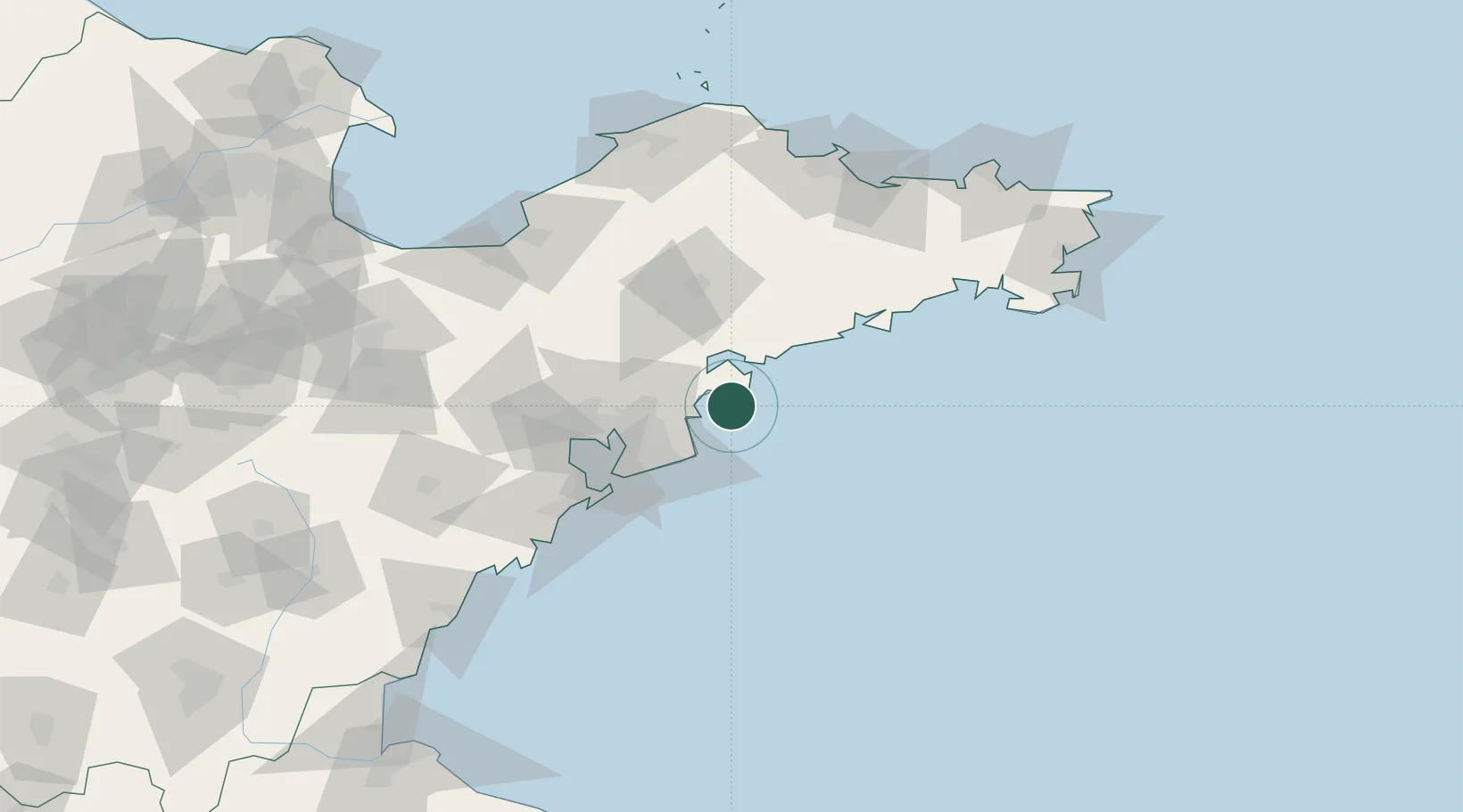
Location
Nearby Logistics Neighbours
Ports
- 1Qingdao Gang66 km
- 2Yantai140 km
- 3Longkou Gang148 km
- 4Penglai159 km
- 5Rizhao162 km
Airports
DatabookThe Record of Consolidated Knowledge
China beyond logistics?