Transport Functions
Port
Hub Profile
Place type
Populated place
Region
Shandong
Time zone
Asia/Shanghai
Elevation
24 m
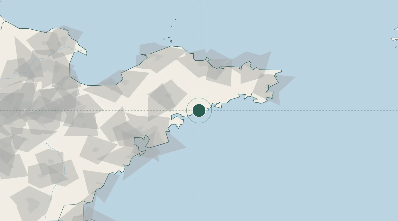
Location
Nearby Logistics Neighbours
Ports
- 1Yantai96 km
- 2Qingdao Gang114 km
- 3Weihai118 km
- 4Penglai129 km
- 5Longkou Gang134 km
Airports
DatabookThe Record of Consolidated Knowledge
China beyond logistics?