Diversified Zone · China

Chaling Economic Development Zone Active
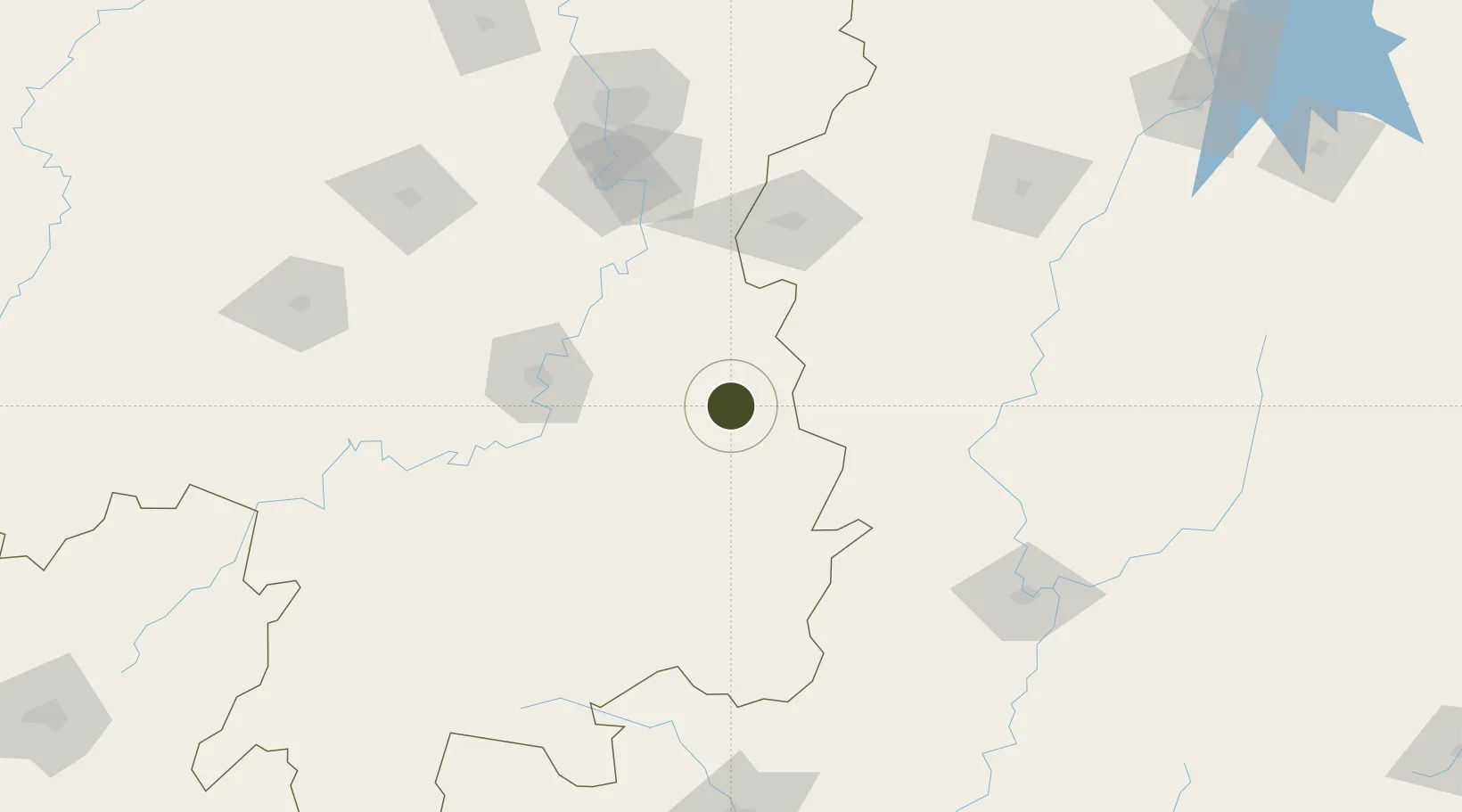
26.7655°, 113.5381°
700 ha
Zone area
406.9 km
Nearest port
67.2 km
Nearest airport

Gateway access

Nearest neighbours — logibook spatial index (haversine) over the source coordinates

Zone profile

Zone type
Diversified Zone
Open Zone Map
Region
Hunan
Open Zone Map
Status
Active
Open Zone Map
Management
Public
Open Zone Map
Operator
Chaling Economic Development Zone Management Committee
Open Zone Map
Legal framework
In 1994, it was approved as a provincial economic development zone by the provincial government
Open Zone Map

Location

Location of ozm-594
Natural Earth 10m (public domain) · Hunan · ozm-594 · 26.77, 113.54GoogleOSMYandex

Nearby Logistics Neighbours

Ports
  1. 1Guangzhou407 km
  2. 2Huangpu410 km
  3. 3Huangpuxingang413 km
  4. 4Hankow431 km
  5. 5Huizhou461 km
Nearest neighbours — logibook spatial index (haversine) over the source coordinates
Airports
  1. 1Leiyang Air Base67 km
  2. 2Hengyang Nanyue Airport92 km
  3. 3Jinggangshan Airport119 km
  4. 4Chenzhou Beihu Airport132 km
  5. 5Yichun Mingyueshan Airport138 km
Nearest neighbours — logibook spatial index (haversine) over the source coordinates
Cities
  1. 1Longhai43 km
  2. 2Kaiyun85 km
  3. 3Hengyang92 km
  4. 4Liling100 km
  5. 5Zhuzhou127 km
Nearest neighbours — logibook spatial index (haversine) over the source coordinates
Trade Zones
  1. 1Anren Industrial Concentration Zone27 km
  2. 2You County Industrial Concentration Zone35 km
  3. 3Yanling Industrial Concentration Zone36 km
  4. 4Lianhua Industrial Park55 km
  5. 5Leiyang Economic Development Zone74 km
Nearest neighbours — logibook spatial index (haversine) over the source coordinates
DatabookThe Record of Consolidated Knowledge
China beyond logistics?
Browse databook

All Sources

Trade ZonesOpen Zone Map
CC BY
Portsthe NGA World Port Index
Public domain (US gov)
AirportsOurAirports
Public domain
LocationsUN/LOCODE
UN/LOCODE — free
← China trade zones