Free Trade Zone · China

Anren Industrial Concentration Zone Active
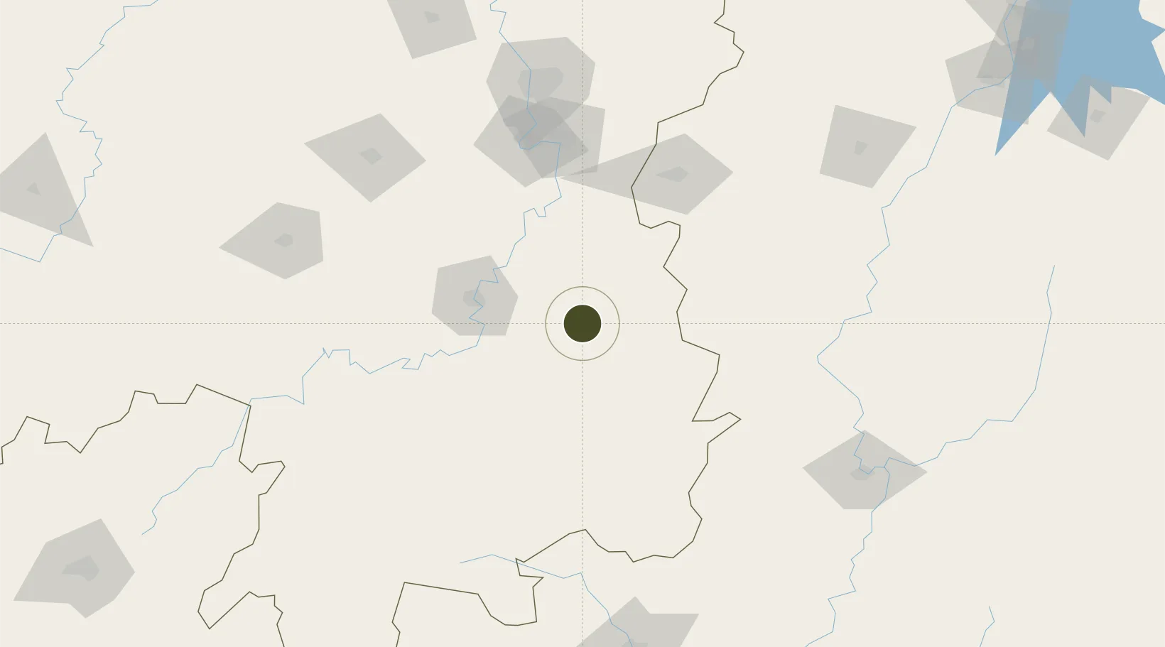
26.7561°, 113.2650°
1,450 ha
Zone area
404.7 km
Nearest port
41.6 km
Nearest airport

Gateway access

Nearest neighbours — logibook spatial index (haversine) over the source coordinates

Zone profile

Zone type
Free Trade Zone
Open Zone Map
Region
Hunan
Open Zone Map
Status
Active
Open Zone Map
Management
Public
Open Zone Map
Operator
Working Committee of Anren Industrial Concentration Zone
Open Zone Map
Legal framework
Anren County industrial park control detailed planning
Open Zone Map

Location

Location of ozm-1547
Natural Earth 10m (public domain) · Hunan · ozm-1547 · 26.76, 113.27GoogleOSMYandex

Nearby Logistics Neighbours

Ports
  1. 1Guangzhou405 km
  2. 2Huangpu409 km
  3. 3Huangpuxingang413 km
  4. 4Hankow437 km
  5. 5Huizhou467 km
Nearest neighbours — logibook spatial index (haversine) over the source coordinates
Airports
  1. 1Leiyang Air Base42 km
  2. 2Hengyang Nanyue Airport64 km
  3. 3Chenzhou Beihu Airport119 km
  4. 4Jinggangshan Airport147 km
  5. 5Changsha Datuopu Airport / Changsha Air Base149 km
Nearest neighbours — logibook spatial index (haversine) over the source coordinates
Cities
  1. 1Longhai32 km
  2. 2Hengyang66 km
  3. 3Kaiyun66 km
  4. 4Liling104 km
  5. 5Zhuzhou122 km
Nearest neighbours — logibook spatial index (haversine) over the source coordinates
Trade Zones
  1. 1Chaling Economic Development Zone27 km
  2. 2You County Industrial Concentration Zone30 km
  3. 3Leiyang Economic Development Zone51 km
  4. 4Hengdong Economic Development Zone52 km
  5. 5Yanling Industrial Concentration Zone55 km
Nearest neighbours — logibook spatial index (haversine) over the source coordinates
DatabookThe Record of Consolidated Knowledge
China beyond logistics?
Browse databook

All Sources

Trade ZonesOpen Zone Map
CC BY
Portsthe NGA World Port Index
Public domain (US gov)
AirportsOurAirports
Public domain
LocationsUN/LOCODE
UN/LOCODE — free
← China trade zones