Export Processing Zone · China
Wuding Industrial Park Active
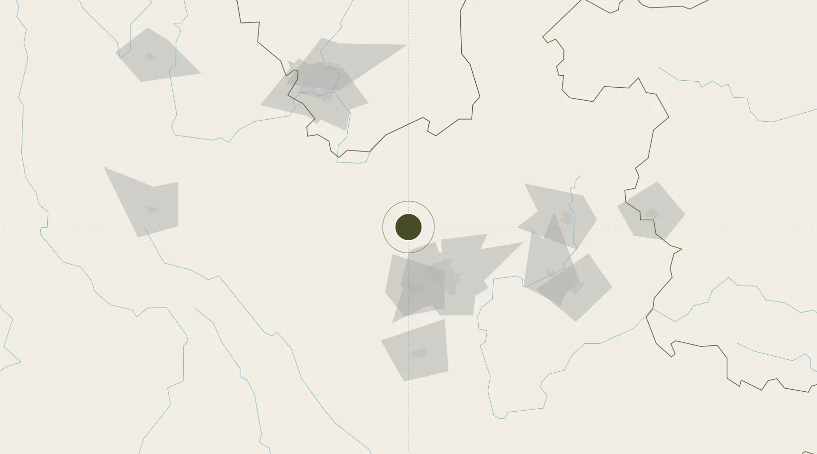
25.4401°, 102.4461°
211 ha
Zone area
663.6 km
Nearest port
61.5 km
Nearest airport
Gateway access
Zone profile
Zone type
Export Processing Zone
Region
Yunnan
Status
Active
Management
Public
Operator
Management Committee of
Legal framework
Yunnan Provincial Committee of the Communist Party of China, Yunnan Provincial People's Government: Decision on Accelerating the Construction of a Modern Industrial System (July 27, 2020), Several Opinions of the General Office of the State Council on Pro
Location
Nearby Logistics Neighbours
Ports
- 1Hai Phong664 km
- 2Hon Gai687 km
- 3Cam Pha702 km
- 4Fang-Cheng728 km
- 5Qinzhou749 km
Airports
- 1Kunming Changshui International Airport62 km
- 2Yuanmou Air Base66 km
- 3Luliang Air Base131 km
- 4Panzhihua Bao'anying Airport138 km
- 5Xiangyun Midu Air Base172 km
Cities
- 1Anning60 km
- 2Yunnan Tengjun International Land Port Logistics Center82 km
- 3Yuxi121 km
- 4Qujing134 km
- 5Panzhihuazhan145 km
DatabookThe Record of Consolidated Knowledge
China beyond logistics?