UN/LOCODE hub · China
CNAJG

Aojiang Pt

27.5833°, 120.4500°
1
Transport functions

Transport Functions

Port
UN/LOCODE

Hub Profile

Region
ZJ
GeoNames

Location

Location of CNAJG
Natural Earth 10m (public domain) · ZJ · CNAJG · 27.58, 120.45GoogleOSMYandex

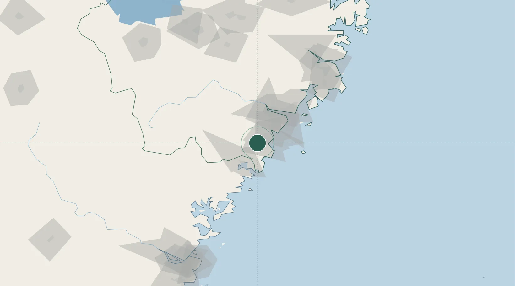
Nearby Logistics Neighbours

Cities
  1. 1Binyang39 km
  2. 2Wenzhou Pt54 km
  3. 3Wenzhou54 km
  4. 4Xiangyu Terminal/ Xiamen55 km
  5. 5Haitian Terminal/ Xiamen56 km
Nearest neighbours — logibook spatial index (haversine) over the source coordinates
Ports
  1. 1Wenzhou52 km
  2. 2Haimen157 km
  3. 3Fuzhou202 km
  4. 4Ningbo277 km
  5. 5Tan-Shui283 km
Nearest neighbours — logibook spatial index (haversine) over the source coordinates
Airports
  1. 1Wenzhou Longwan International Airport54 km
  2. 2Taizhou Luqiao Airport145 km
  3. 3Matsu Beigan Airport158 km
  4. 4Matsu Nangan Airport166 km
  5. 5Fuzhou Changle International Airport200 km
Nearest neighbours — logibook spatial index (haversine) over the source coordinates
DatabookThe Record of Consolidated Knowledge
China beyond logistics?
Browse databook

All Sources

LocationsUN/LOCODE
UN/LOCODE — free
Portsthe NGA World Port Index
Public domain (US gov)
AirportsOurAirports
Public domain
Trade Zonesthe World Bank SEZ database
CC BY 4.0
Trade ZonesOpen Zone Map
CC BY
← China locations