Export Processing Zone · China

Laishui Economic Development Zone Active
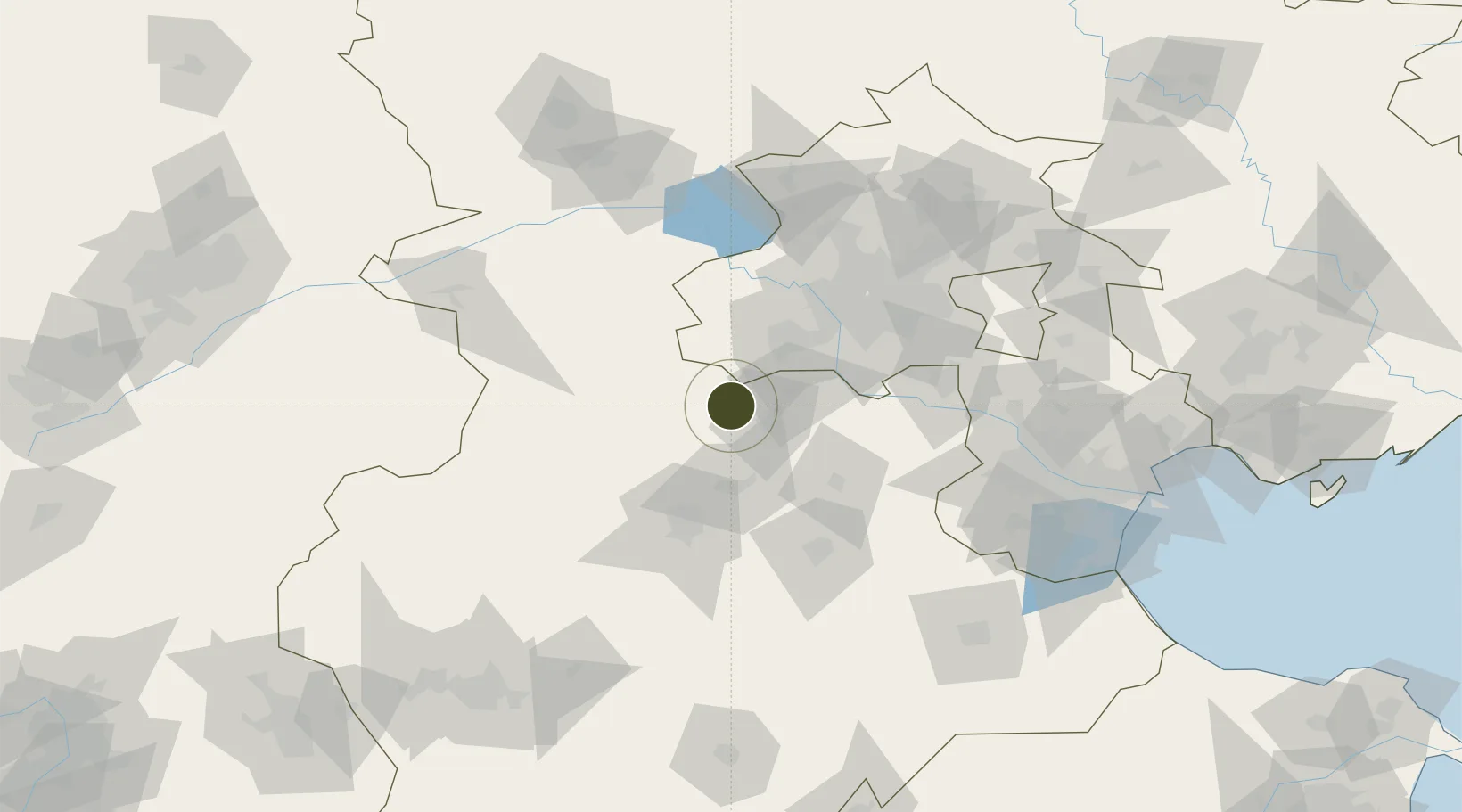
39.4068°, 115.7045°
297 ha
Zone area
189.9 km
Nearest port
53.2 km
Nearest airport

Gateway access

Nearest neighbours — logibook spatial index (haversine) over the source coordinates

Zone profile

Zone type
Export Processing Zone
Open Zone Map
Region
Hebei
Open Zone Map
Status
Active
Open Zone Map
Management
Public
Open Zone Map
Operator
Management Committee of Laishui Economic Development Zone
Open Zone Map
Legal framework
Laishui Economic Development Zone in Hebei province was approved by the provincial government as a provincial-level development zone on July 6, 2011
Open Zone Map

Location

Location of ozm-1087
Natural Earth 10m (public domain) · Hebei · ozm-1087 · 39.41, 115.70GoogleOSMYandex

Nearby Logistics Neighbours

Ports
  1. 1Tianjin Xin Gang190 km
  2. 2Tangshan (Jingtang)286 km
  3. 3Qinhuangdao340 km
  4. 4Longkou Gang444 km
  5. 5Huludao Gang472 km
Nearest neighbours — logibook spatial index (haversine) over the source coordinates
Airports
  1. 1Liangxiangzhen Air Base53 km
  2. 2Beijing Nanjiao Airport58 km
  3. 3Beijing Daxing International Airport62 km
  4. 4Beijing Xijiao Airport77 km
  5. 5Beijing Xijiao Airport77 km
Nearest neighbours — logibook spatial index (haversine) over the source coordinates
Cities
  1. 1Xiangyang32 km
  2. 2Daxing62 km
  3. 3Hebei64 km
  4. 4Baoding64 km
  5. 5Beijing77 km
Nearest neighbours — logibook spatial index (haversine) over the source coordinates
DatabookThe Record of Consolidated Knowledge
China beyond logistics?
Browse databook

All Sources

Trade ZonesOpen Zone Map
CC BY
Portsthe NGA World Port Index
Public domain (US gov)
AirportsOurAirports
Public domain
LocationsUN/LOCODE
UN/LOCODE — free
← China trade zones