Export Processing Zone · China

Yongchun Industrial Park Active
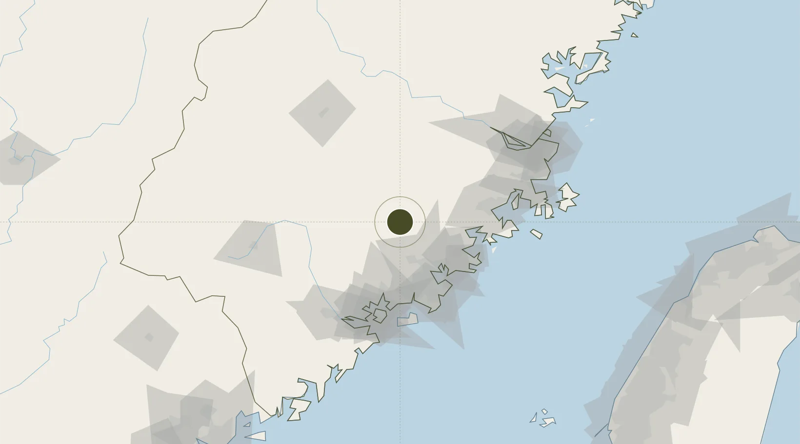
25.3155°, 118.3053°
1,200 ha
Zone area
56.5 km
Nearest port
59.9 km
Nearest airport

Gateway access

Nearest neighbours — logibook spatial index (haversine) over the source coordinates

Zone profile

Zone type
Export Processing Zone
Open Zone Map
Region
Fujian
Open Zone Map
Status
Active
Open Zone Map
Management
Public
Open Zone Map
Operator
Management Committee of Yongchun Industrial Park
Open Zone Map
Legal framework
Yongchun Industrial Park was approved by fujian Provincial government and approved by the National Development and Reform Commission in 2006
Open Zone Map

Location

Location of ozm-1285
Natural Earth 10m (public domain) · Fujian · ozm-1285 · 25.32, 118.31GoogleOSMYandex

Nearby Logistics Neighbours

Ports
  1. 1Quanzhou57 km
  2. 2Xiuyu69 km
  3. 3Zhangzhou72 km
  4. 4Xiamen99 km
  5. 5Fuzhou131 km
Nearest neighbours — logibook spatial index (haversine) over the source coordinates
Airports
  1. 1Huian Air Base60 km
  2. 2Quanzhou Jinjiang International Airport64 km
  3. 3Xiamen Gaoqi International Airport88 km
  4. 4Kinmen Airport99 km
  5. 5Longtian Air Base119 km
Nearest neighbours — logibook spatial index (haversine) over the source coordinates
Cities
  1. 1Yongchun,Quanzhou9 km
  2. 2Anxi,Quanzhou30 km
  3. 3Dehua38 km
  4. 4Quanzhou52 km
  5. 5Houzhu60 km
Nearest neighbours — logibook spatial index (haversine) over the source coordinates
Trade Zones
  1. 1Dehua Ceramic Industrial Park21 km
  2. 2Anxi Economic Development Zone33 km
  3. 3Nanan Economic Development Zone34 km
  4. 4Quanzhou Export Processing Zone55 km
  5. 5Xiangan Industrial Park64 km
Nearest neighbours — logibook spatial index (haversine) over the source coordinates
DatabookThe Record of Consolidated Knowledge
China beyond logistics?
Browse databook

All Sources

Trade ZonesOpen Zone Map
CC BY
Portsthe NGA World Port Index
Public domain (US gov)
AirportsOurAirports
Public domain
LocationsUN/LOCODE
UN/LOCODE — free
← China trade zones