Export Processing Zone · China

Anxi Economic Development Zone Active
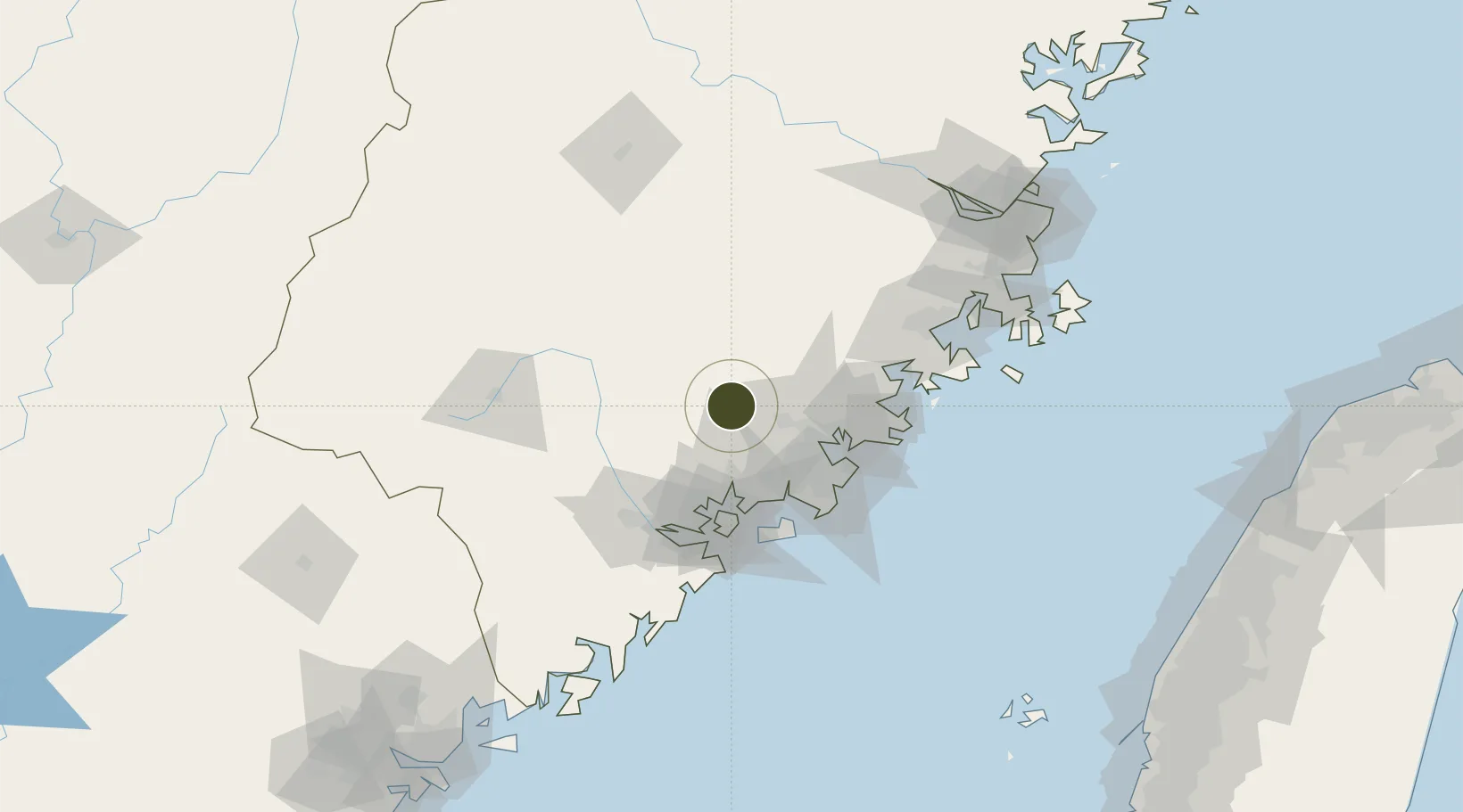
25.0565°, 118.1547°
6,000 ha
Zone area
41.5 km
Nearest port
52.5 km
Nearest airport

Gateway access

Nearest neighbours — logibook spatial index (haversine) over the source coordinates

Zone profile

Zone type
Export Processing Zone
Open Zone Map
Region
Fujian
Open Zone Map
Status
Active
Open Zone Map
Management
Public
Open Zone Map
Operator
Anxi Economic Development Zone Management Committee
Open Zone Map
Legal framework
Is approved by the provincial government of the development zone
Open Zone Map

Location

Location of ozm-1439
Natural Earth 10m (public domain) · Fujian · ozm-1439 · 25.06, 118.15GoogleOSMYandex

Nearby Logistics Neighbours

Ports
  1. 1Zhangzhou42 km
  2. 2Quanzhou49 km
  3. 3Xiamen68 km
  4. 4Xiuyu86 km
  5. 5Dongshan159 km
Nearest neighbours — logibook spatial index (haversine) over the source coordinates
Airports
  1. 1Quanzhou Jinjiang International Airport53 km
  2. 2Xiamen Gaoqi International Airport57 km
  3. 3Huian Air Base66 km
  4. 4Kinmen Airport73 km
  5. 5Longtian Air Base143 km
Nearest neighbours — logibook spatial index (haversine) over the source coordinates
Cities
  1. 1Anxi,Quanzhou5 km
  2. 2Yongchun,Quanzhou28 km
  3. 3Tongan, Xiamen38 km
  4. 4Jinjiang Dry Port41 km
  5. 5Dehua43 km
Nearest neighbours — logibook spatial index (haversine) over the source coordinates
Trade Zones
  1. 1Yongchun Industrial Park33 km
  2. 2Nanan Economic Development Zone35 km
  3. 3Xiangan Industrial Park36 km
  4. 4Tongan Industrial Park40 km
  5. 5Quanzhou Export Processing Zone42 km
Nearest neighbours — logibook spatial index (haversine) over the source coordinates
DatabookThe Record of Consolidated Knowledge
China beyond logistics?
Browse databook

All Sources

Trade ZonesOpen Zone Map
CC BY
Portsthe NGA World Port Index
Public domain (US gov)
AirportsOurAirports
Public domain
LocationsUN/LOCODE
UN/LOCODE — free
← China trade zones