UN/LOCODE hub · China
CNCIV

Civet / Guandong

22.2667°, 113.0667°
2
Transport functions

Transport Functions

Port
Multimodal
UN/LOCODE

Hub Profile

Region
GD
GeoNames
Logistics facilities
3
UN/LOCODE

Location

Location of CNCIV
Natural Earth 10m (public domain) · GD · CNCIV · 22.27, 113.07GoogleOSMYandex

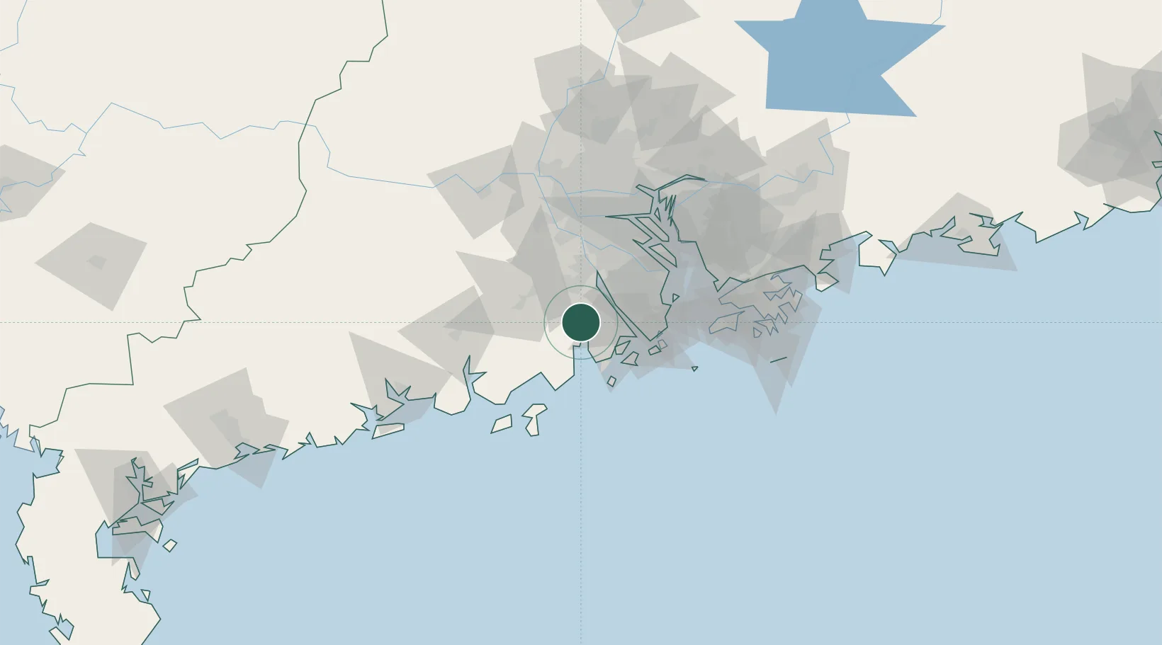
Nearby Logistics Neighbours

Cities
  1. 1Shadui8 km
  2. 2Pingshaxinmatou21 km
  3. 3Xinhui Pt25 km
  4. 4Shenwan28 km
  5. 5Jinguzhou28 km
Nearest neighbours — logibook spatial index (haversine) over the source coordinates
Ports
  1. 1Macau52 km
  2. 2Zhuhai53 km
  3. 3Shekou85 km
  4. 4Guangzhou96 km
  5. 5Huangpu98 km
Nearest neighbours — logibook spatial index (haversine) over the source coordinates
Airports
  1. 1Zhuhai Jinwan Airport43 km
  2. 2Macau International Airport56 km
  3. 3Shenzhen Bao'an International Airport86 km
  4. 4Hong Kong International Airport87 km
  5. 5Foshan Shadi Airport91 km
Nearest neighbours — logibook spatial index (haversine) over the source coordinates
DatabookThe Record of Consolidated Knowledge
China beyond logistics?
Browse databook

All Sources

LocationsUN/LOCODE
UN/LOCODE — free
Portsthe NGA World Port Index
Public domain (US gov)
AirportsOurAirports
Public domain
Trade Zonesthe World Bank SEZ database
CC BY 4.0
Trade ZonesOpen Zone Map
CC BY
← China locations