UN/LOCODE hub · China
CNXYI

Xinying

19.7333°, 109.2833°
2
Transport functions

Transport Functions

Port
Road
UN/LOCODE

Hub Profile

Place type
Populated place
GeoNames
Region
Hainan
GeoNames
Time zone
Asia/Shanghai
GeoNames
Elevation
4 m
GeoNames

Location

Location of CNXYI
Natural Earth 10m (public domain) · Hainan · CNXYI · 19.73, 109.28GoogleOSMYandex

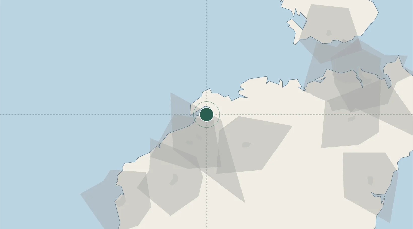
Nearby Logistics Neighbours

Cities
  1. 1Baimajing8 km
  2. 2Yangpu Pt18 km
  3. 3Haikou New Pt74 km
  4. 4Macun80 km
  5. 5Dongfang84 km
Nearest neighbours — logibook spatial index (haversine) over the source coordinates
Ports
  1. 1Yangpu11 km
  2. 2Chiwan83 km
  3. 3Basuo99 km
  4. 4Haikou110 km
  5. 5Sanya159 km
Nearest neighbours — logibook spatial index (haversine) over the source coordinates
Airports
  1. 1Jialaishi Air Base47 km
  2. 2Foluo Northeast Air Base117 km
  3. 3Haikou Meilan International Airport125 km
  4. 4Qionghai Bo'ao Airport139 km
  5. 5Lingshui Air Base156 km
Nearest neighbours — logibook spatial index (haversine) over the source coordinates
DatabookThe Record of Consolidated Knowledge
China beyond logistics?
Browse databook

All Sources

LocationsUN/LOCODE
UN/LOCODE — free
Portsthe NGA World Port Index
Public domain (US gov)
AirportsOurAirports
Public domain
Trade Zonesthe World Bank SEZ database
CC BY 4.0
Trade ZonesOpen Zone Map
CC BY
← China locations