Transport Functions
Port
Hub Profile
Region
HI
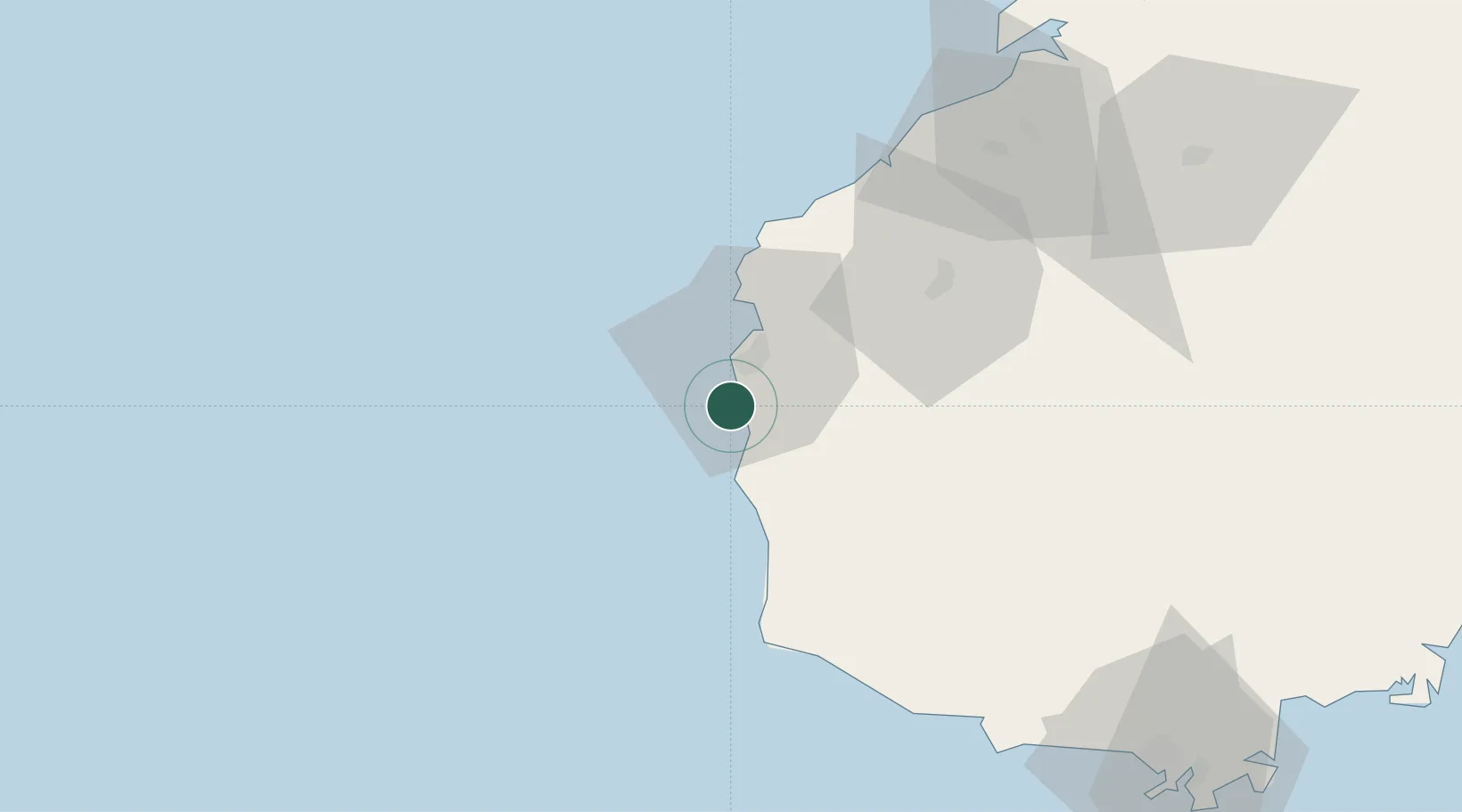
Location
Nearby Logistics Neighbours
Cities
- 1Dongfang34 km
- 2Yangpu Pt90 km
- 3Baimajing100 km
- 4Xinying107 km
- 5Haikou New Pt141 km
Airports
- 1Foluo Northeast Air Base67 km
- 2Sanya Phoenix International Airport114 km
- 3Sanya Air Base119 km
- 4Jialaishi Air Base140 km
- 5Lingshui Air Base155 km
DatabookThe Record of Consolidated Knowledge
China beyond logistics?