UN/LOCODE hub · China
CNBMJ

Baimajing

19.7000°, 109.2167°
59,585
Population
2
Transport functions

Transport Functions

Port
Road
UN/LOCODE

Hub Profile

Place type
Local administrative seat
GeoNames
Region
Hainan
GeoNames
Population
59,585
GeoNames
Time zone
Asia/Shanghai
GeoNames
Elevation
9 m
GeoNames

Location

Location of CNBMJ
Natural Earth 10m (public domain) · Hainan · CNBMJ · 19.70, 109.22GoogleOSMYandex

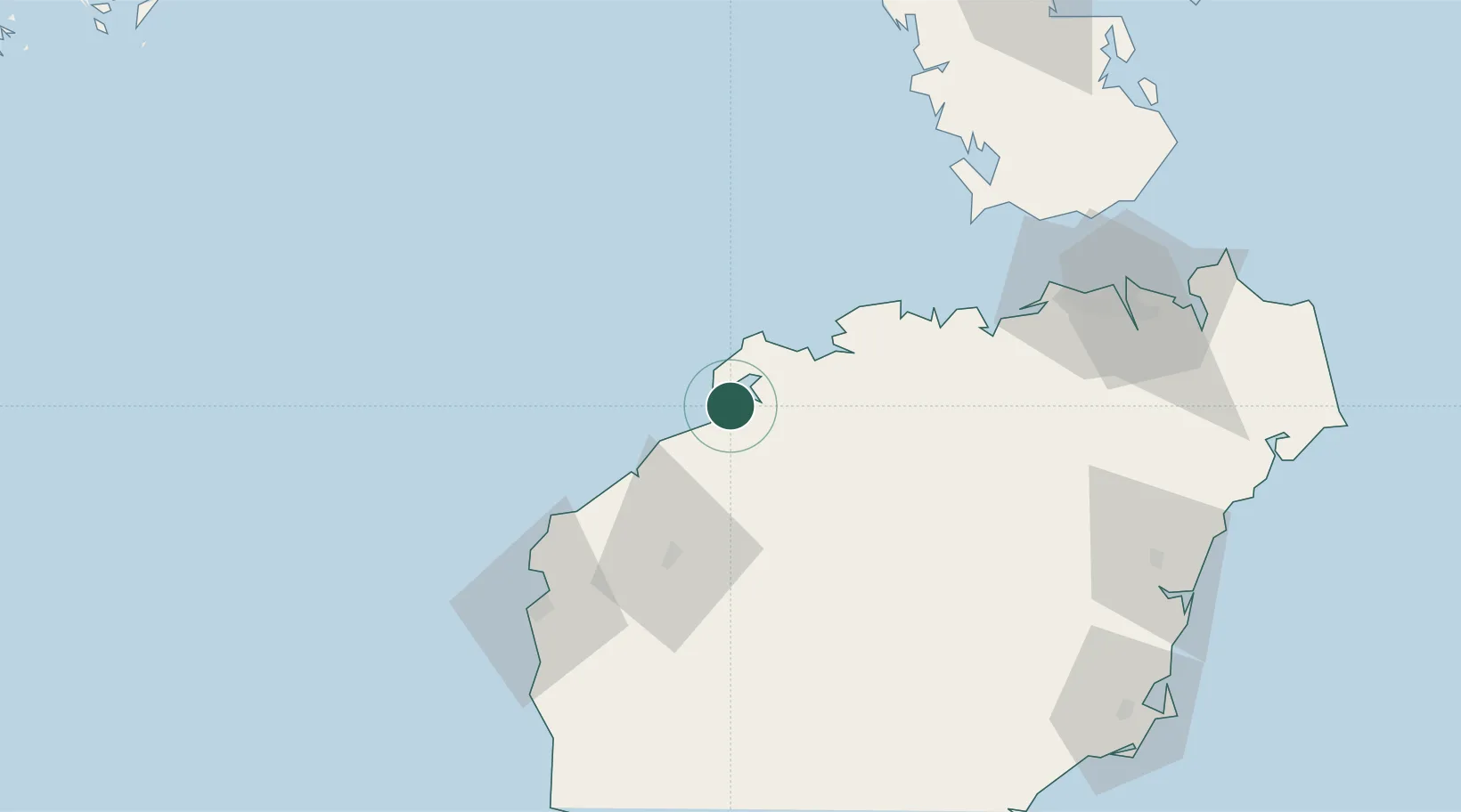
Nearby Logistics Neighbours

Cities
  1. 1Xinying8 km
  2. 2Yangpu Pt10 km
  3. 3Haikou New Pt73 km
  4. 4Dongfang78 km
  5. 5Macun88 km
Nearest neighbours — logibook spatial index (haversine) over the source coordinates
Ports
  1. 1Yangpu5 km
  2. 2Chiwan90 km
  3. 3Basuo92 km
  4. 4Haikou118 km
  5. 5Sanya156 km
Nearest neighbours — logibook spatial index (haversine) over the source coordinates
Airports
  1. 1Jialaishi Air Base53 km
  2. 2Foluo Northeast Air Base112 km
  3. 3Haikou Meilan International Airport133 km
  4. 4Qionghai Bo'ao Airport144 km
  5. 5Lingshui Air Base157 km
Nearest neighbours — logibook spatial index (haversine) over the source coordinates
DatabookThe Record of Consolidated Knowledge
China beyond logistics?
Browse databook

All Sources

LocationsUN/LOCODE
UN/LOCODE — free
LocationsGeoNames
CC BY 4.0
Portsthe NGA World Port Index
Public domain (US gov)
AirportsOurAirports
Public domain
Trade Zonesthe World Bank SEZ database
CC BY 4.0
Trade ZonesOpen Zone Map
CC BY
← China locations