Diversified Zone · China

Baohe Economic Development Zone Active
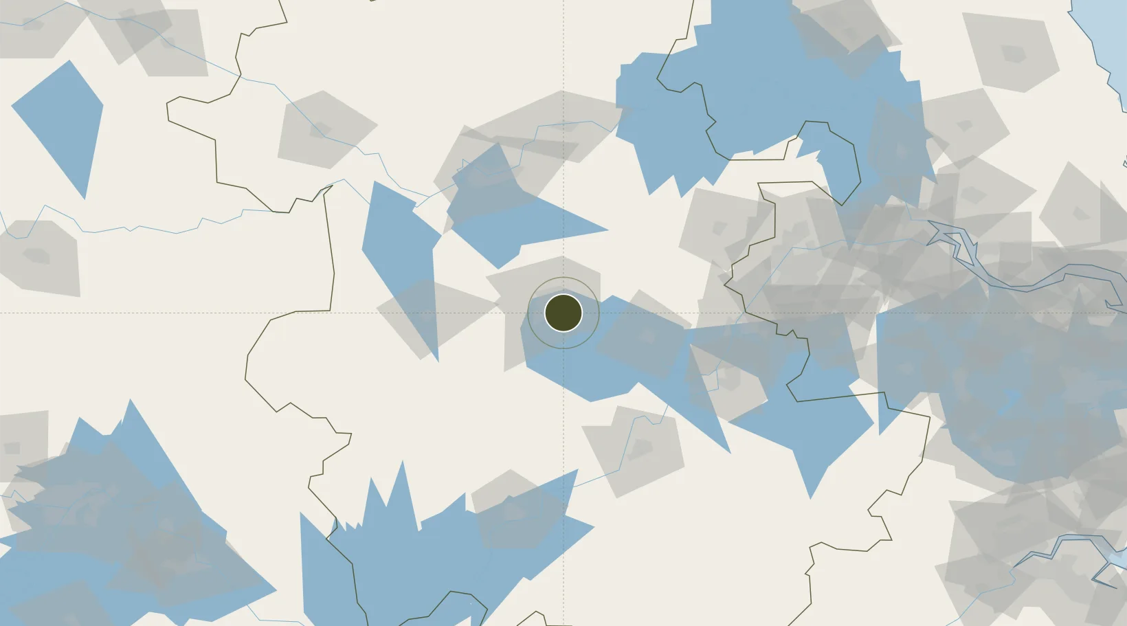
31.7799°, 117.3520°
1,705 ha
Zone area
136.2 km
Nearest port
32.4 km
Nearest airport

Gateway access

Nearest neighbours — logibook spatial index (haversine) over the source coordinates

Zone profile

Zone type
Diversified Zone
Open Zone Map
Region
Anhui
Open Zone Map
Status
Active
Open Zone Map
Management
Public
Open Zone Map
Operator
Management Committee of Baohe Economic Development Zone
Open Zone Map
Legal framework
It was established in May 2002 (formerly known as Baohe Industrial Zone). In February 2006, the provincial government approved it as a provincial development zone with an approved construction area of 6.18 square kilometers. In February 2015, the provinci
Open Zone Map

Location

Location of ozm-796
Natural Earth 10m (public domain) · Anhui · ozm-796 · 31.78, 117.35GoogleOSMYandex

Nearby Logistics Neighbours

Ports
  1. 1Nanjing136 km
  2. 2Zhenjiang202 km
  3. 3Yangzhou204 km
  4. 4Gaogang242 km
  5. 5Changzhou249 km
Nearest neighbours — logibook spatial index (haversine) over the source coordinates
Airports
  1. 1Feidong Air Base32 km
  2. 2Hefei Xinqiao International Airport42 km
  3. 3Bengbu Tenghu Airport119 km
  4. 4Chizhou Jiuhuashan Airport120 km
  5. 5Anqing Tianzhushan Airport / Anqing North Air Base136 km
Nearest neighbours — logibook spatial index (haversine) over the source coordinates
Cities
  1. 1Hefei12 km
  2. 2Chaohu51 km
  3. 3Quanjiao73 km
  4. 4Lu'an82 km
  5. 5zhengpugang Pt99 km
Nearest neighbours — logibook spatial index (haversine) over the source coordinates
DatabookThe Record of Consolidated Knowledge
China beyond logistics?
Browse databook

All Sources

Trade ZonesOpen Zone Map
CC BY
Portsthe NGA World Port Index
Public domain (US gov)
AirportsOurAirports
Public domain
LocationsUN/LOCODE
UN/LOCODE — free
← China trade zones