UN/LOCODE hub · China
CNWZO

Wenzhou Pt

27.9626°, 120.7996°
1
Transport functions

Transport Functions

Port
Wenzhou Pt is also a profiled seaport →
UN/LOCODE

Hub Profile

Region
ZJ
GeoNames
Logistics facilities
1
UN/LOCODE

Location

Location of CNWZO
Natural Earth 10m (public domain) · ZJ · CNWZO · 27.96, 120.80GoogleOSMYandex

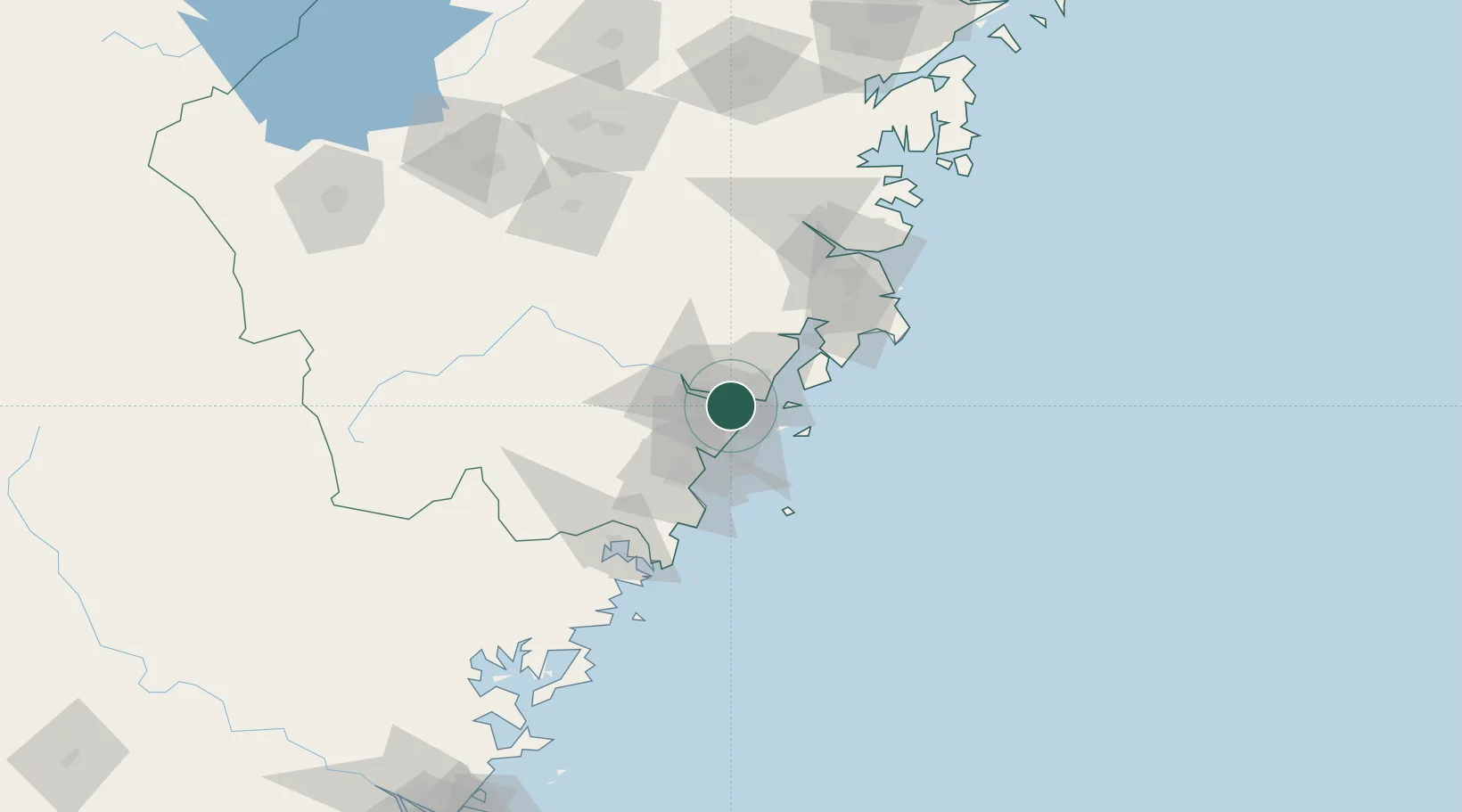
Nearby Logistics Neighbours

Cities
  1. 1Wenzhou7 km
  2. 2Yongjia24 km
  3. 3Zhuangyuanao32 km
  4. 4Damaiyu37 km
  5. 5Shanwai41 km
Nearest neighbours — logibook spatial index (haversine) over the source coordinates
Ports
  1. 1Haimen102 km
  2. 2Ningbo226 km
  3. 3Zhen Hai238 km
  4. 4Fuzhou256 km
  5. 5Zhoushan260 km
Nearest neighbours — logibook spatial index (haversine) over the source coordinates
Airports
  1. 1Wenzhou Longwan International Airport8 km
  2. 2Taizhou Luqiao Airport91 km
  3. 3Yiwu Airport171 km
  4. 4Matsu Beigan Airport209 km
  5. 5Quzhou Airport217 km
Nearest neighbours — logibook spatial index (haversine) over the source coordinates
DatabookThe Record of Consolidated Knowledge
China beyond logistics?
Browse databook

All Sources

LocationsUN/LOCODE
UN/LOCODE — free
Portsthe NGA World Port Index
Public domain (US gov)
AirportsOurAirports
Public domain
Trade Zonesthe World Bank SEZ database
CC BY 4.0
Trade ZonesOpen Zone Map
CC BY
← China locations