UN/LOCODE hub · China
CNWNZ

Wenzhou

27.9209°, 120.8504°
2,650,000
Population
4
Transport functions

Transport Functions

Port
Rail
Road
Airport
UN/LOCODE

Hub Profile

Place type
District seat
GeoNames
Region
Zhejiang
GeoNames
Population
2,650,000
GeoNames
Time zone
Asia/Shanghai
GeoNames
Elevation
10 m
GeoNames
Logistics facilities
3
UN/LOCODE

Location

Location of CNWNZ
Natural Earth 10m (public domain) · Zhejiang · CNWNZ · 27.92, 120.85GoogleOSMYandex

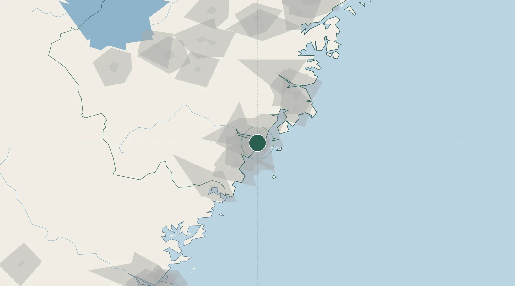
Nearby Logistics Neighbours

Cities
  1. 1Wenzhou Pt7 km
  2. 2Zhuangyuanao27 km
  3. 3Yongjia30 km
  4. 4Damaiyu35 km
  5. 5Shanwai37 km
Nearest neighbours — logibook spatial index (haversine) over the source coordinates
Ports
  1. 1Wenzhou22 km
  2. 2Haimen103 km
  3. 3Ningbo229 km
  4. 4Zhen Hai240 km
  5. 5Fuzhou256 km
Nearest neighbours — logibook spatial index (haversine) over the source coordinates
Airports
  1. 1Wenzhou Longwan International Airport1 km
  2. 2Taizhou Luqiao Airport91 km
  3. 3Yiwu Airport177 km
  4. 4Matsu Beigan Airport207 km
  5. 5Matsu Nangan Airport215 km
Nearest neighbours — logibook spatial index (haversine) over the source coordinates
DatabookThe Record of Consolidated Knowledge
China beyond logistics?
Browse databook

All Sources

LocationsUN/LOCODE
UN/LOCODE — free
LocationsGeoNames
CC BY 4.0
Portsthe NGA World Port Index
Public domain (US gov)
AirportsOurAirports
Public domain
Trade Zonesthe World Bank SEZ database
CC BY 4.0
Trade ZonesOpen Zone Map
CC BY
← China locations