Transport Functions
Rail
Road
Hub Profile
Place type
Populated place
Region
Thurgau
Time zone
Europe/Zurich
Elevation
429 m
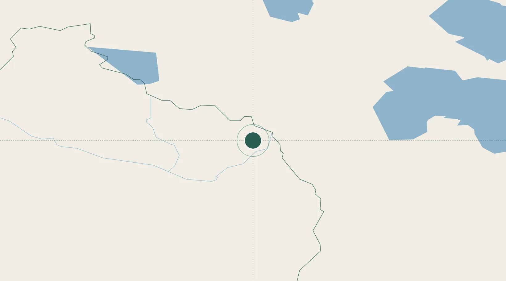
Location
Nearby Logistics Neighbours
Cities
- 1Altay150 km
- 2Limeshain396 km
- 3Chatfield445 km
- 4Urumqi International Lugang457 km
- 5Urumqi464 km
Airports
- 1Fuyun Koktokay Airport93 km
- 2Khovd Airport125 km
- 3Altay Xuedu Airport150 km
- 4Ölgii Mongolei International Airport161 km
- 5Burqin Kanas Airport241 km
Trade Zones
DatabookThe Record of Consolidated Knowledge
Switzerland beyond logistics?