Medium airport · Cameroon
Foumban Nkounja AirportFKKM
5.6369°, 10.7508°
6,889 ft
Longest runway
1
Runways
3,963 ft
Elevation
Runway & Layout

Radio Frequencies
AFIS
118.7 MHz
Navaids
TJM NDB Foumban Nkounja 330 kHz
Runways · 1
| Runway | Dimensions | Surface | True heading | Lit |
|---|---|---|---|---|
| 04/22 | 6,889 × 148ft | Asphalt | 038° | ✓ |
Airport Specifications
IATA code
FOM
ICAO code
FKKM
Airport class
Medium airport
Scheduled service
No
Runway surface
Asphalt
Served city
Foumban
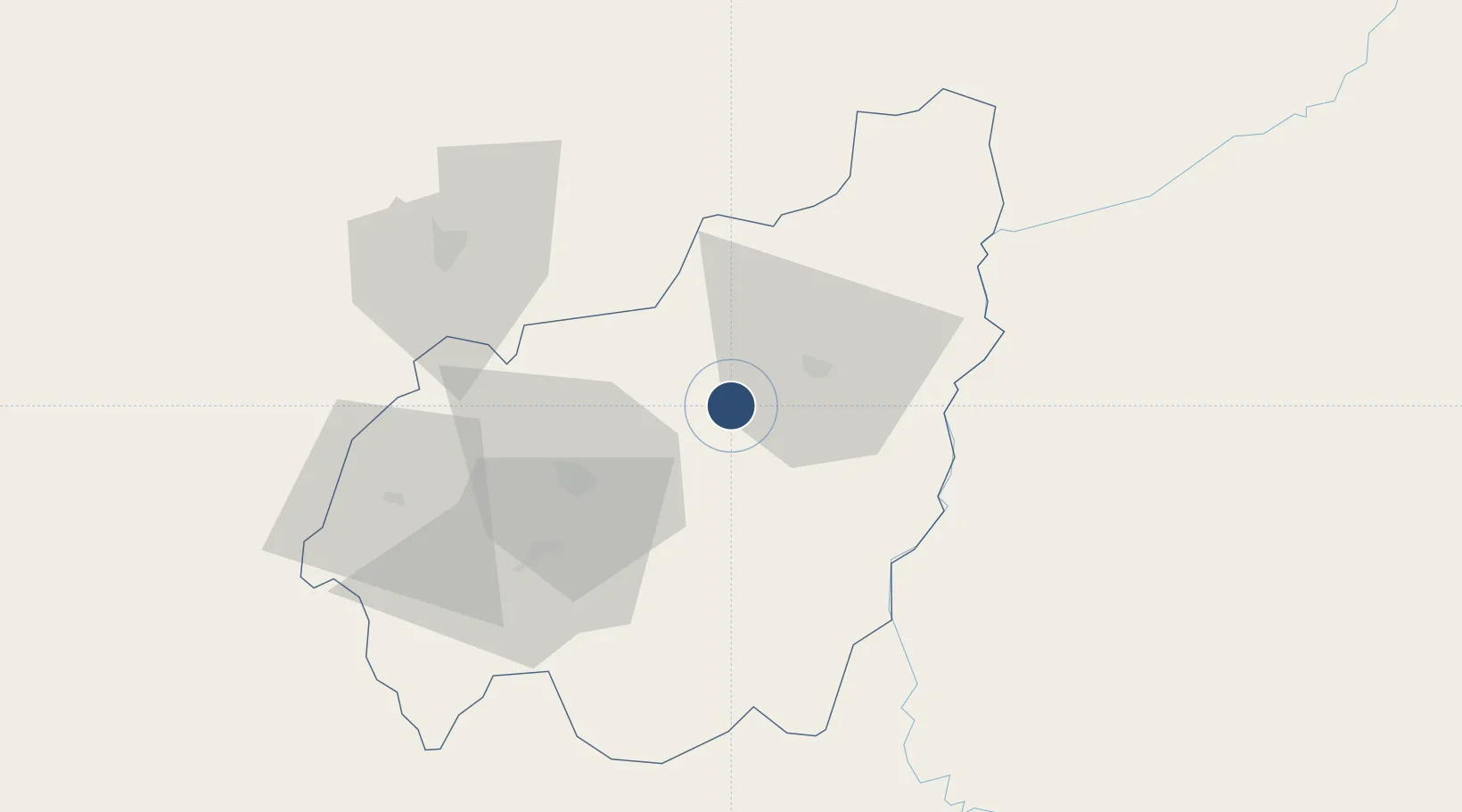
Location
Nearby Logistics Neighbours
Airports
- 1Bafoussam Airport45 km
- 2Bamenda Airport83 km
- 3Douala International Airport214 km
- 4Yaoundé Ville Airport218 km
- 5Yaoundé Nsimalen International Airport231 km
Cities
- 1Nkongsamba120 km
- 2Kumba184 km
- 3Banana187 km
- 4Mararaba212 km
- 5Douala214 km
Ports
- 1Douala212 km
- 2Limboh Terminal256 km
- 3Calabar280 km
- 4Kole Oil Terminal289 km
- 5Malabo303 km
Trade Zones
- 1Banengo Industrial Zone43 km
- 2Bassa-Douala Industrial Zone210 km
- 3Bonaberi-Douala Industrial Zone211 km
- 4Nsam-Mvan Industrial Zone220 km
- 5Tinapa Free Zone & Resort277 km
DatabookThe Record of Consolidated Knowledge
Cameroon beyond logistics?