Transport Functions
Rail
Road
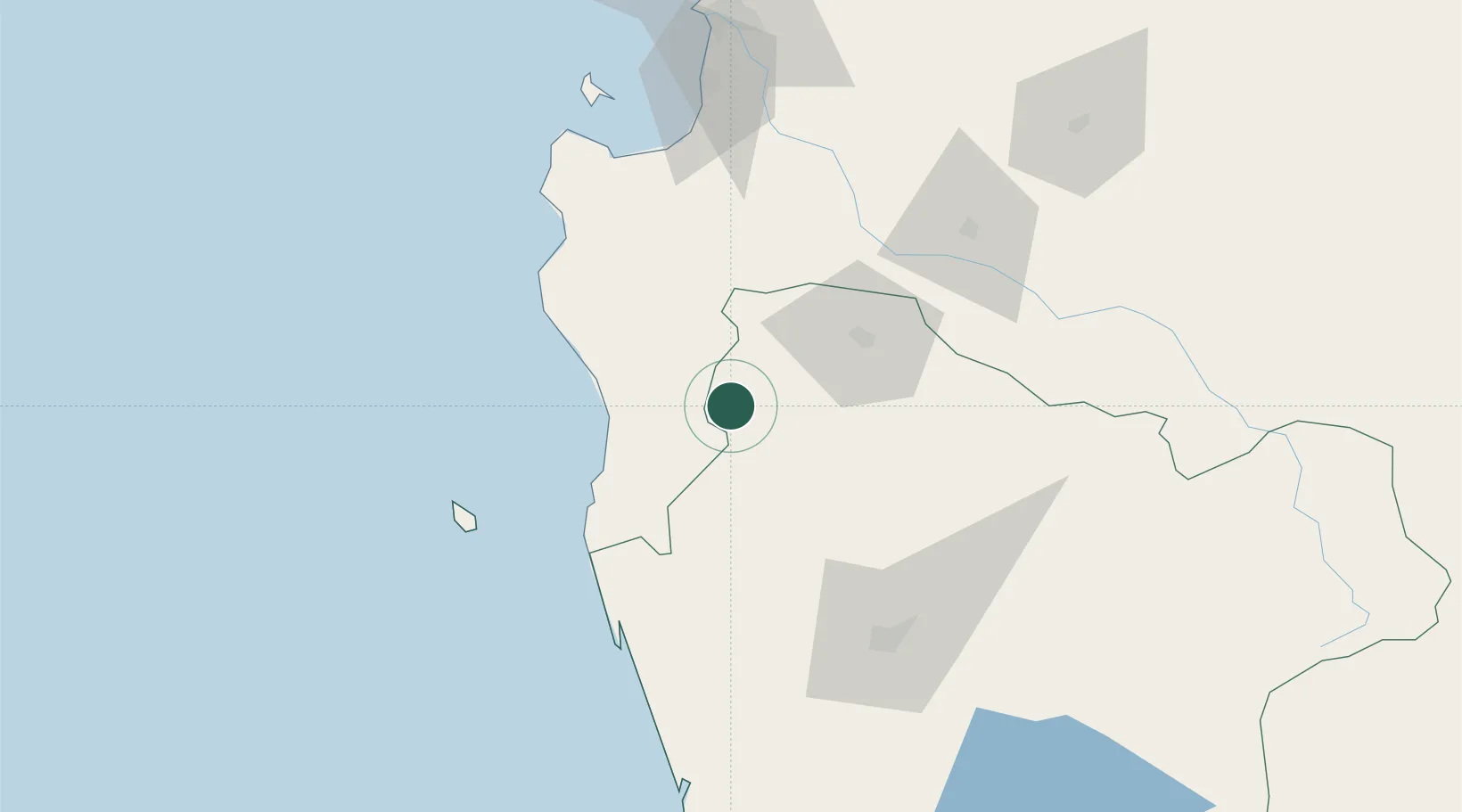
Hub Profile
Place type
Populated place
Region
Araucanía
Population
11,815
Time zone
America/Santiago
Elevation
106 m
Location
Nearby Logistics Neighbours
Cities
- 1Lumaco21 km
- 2Los Sauces23 km
- 3Angol40 km
- 4Traiguén44 km
- 5Galvarino50 km
Ports
- 1Lota102 km
- 2Coronel110 km
- 3Bahia San Vicente143 km
- 4Penco145 km
- 5Lirquen145 km
Airports
- 1Victoria Airport69 km
- 2Maquehue Airport92 km
- 3La Araucanía International Airport108 km
- 4Carriel Sur International Airport138 km
- 5Pucón Airport174 km
Trade Zones
DatabookThe Record of Consolidated Knowledge
Chile beyond logistics?